





From Vague Predictions to Pinpoint Accuracy
For years, planning around rain involved a degree of guesswork. A forecast might have predicted a 60% chance of afternoon thunderstorms, leaving you to wonder whether to cancel your plans entirely. This approach was broad, applying to an entire city or district.
However, a new wave of updates to popular weather apps is shifting the focus to hyperlocal forecasting. Instead of just a general probability, these tools now provide minute-by-minute precipitation predictions for your specific neighbourhood. This technology uses real-time data from weather radars and satellites to tell you not just if it will rain, but precisely when it will start and stop. This added context is a game-changer for everything from a quick run to the market to a weekend road trip.
What 'New Context' Really Means
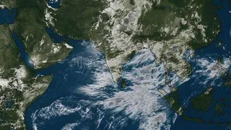
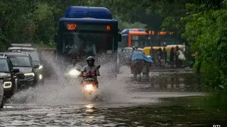
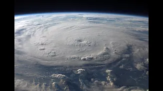
The latest features are all about providing actionable detail. The most significant update is the introduction of hyperlocal, short-term forecasts, sometimes called 'nowcasting'. Apps like the government's 'Mausam' provide three-hour warnings for specific localities, which is invaluable for immediate travel decisions. Other platforms offer minute-by-minute predictions, telling you that rain will start in your area in 15 minutes and last for 45 minutes. Many now also include rain intensity levels, so you know whether to expect a light drizzle or a heavy downpour that could lead to waterlogging. Visual tools are also improving, with advanced weather maps and high-resolution satellite imagery allowing you to track a storm's movement and direction yourself.
Smarter Planning for Daily Errands and Commutes
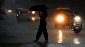
This level of detail transforms daily planning. The question is no longer "Will it rain today?" but "What is the best 30-minute window to walk the dog?" For commuters, it can mean the difference between leaving work on time and getting caught in a sudden downpour that snarls traffic. By checking a minute-by-minute forecast, you can decide to leave 10 minutes earlier to avoid the rain entirely. Some apps are even integrating these forecasts with route planning. The IMD, for instance, offers a 'Route Forecast' on its website that provides weather updates along national highways. This feature helps you anticipate conditions like heavy rain or fog along your specific journey, allowing you to choose a safer route or a better time to travel.
Applying the Tech to Weekend Getaways
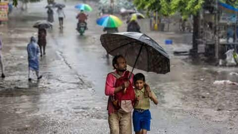
When planning longer trips, especially road trips during the monsoon, this new context is even more critical. Before, you might have cancelled a trip to a nearby hill station based on a forecast for heavy rain. Now, you can get a more nuanced picture. A hyperlocal forecast might show that the rain is expected mainly in the early morning and late evening, leaving the afternoon clear for sightseeing. You can also check weather conditions along your entire route, identifying potential trouble spots in advance. This allows for more flexible and informed decisions. Instead of a simple go or no-go, you can adjust your departure time, alter your route, or plan indoor activities during the predicted wet spells. It’s about working with the weather, not letting it dictate your plans.
How to Find and Use These Features
Many mainstream weather apps, including both Indian platforms like Mausam and Skymet and global ones like AccuWeather, are incorporating these advanced features. Look for terms like "MinuteCast," "Nowcast," "Rain Timeline," or hyperlocal radar maps within your preferred app. To make the most of them, enable location-based push notifications for rain alerts. This ensures you get a warning before precipitation starts. When planning a trip, don't just check the forecast for your destination; use route-planning features if available or check the forecast for key towns along your way. By combining these tools, you can build a comprehensive weather picture for your entire journey, making travel during the monsoon significantly less stressful and much more predictable.