


A Planetary-Scale Data Problem
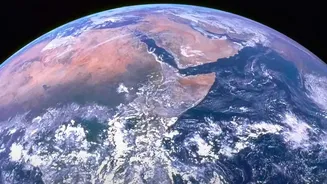
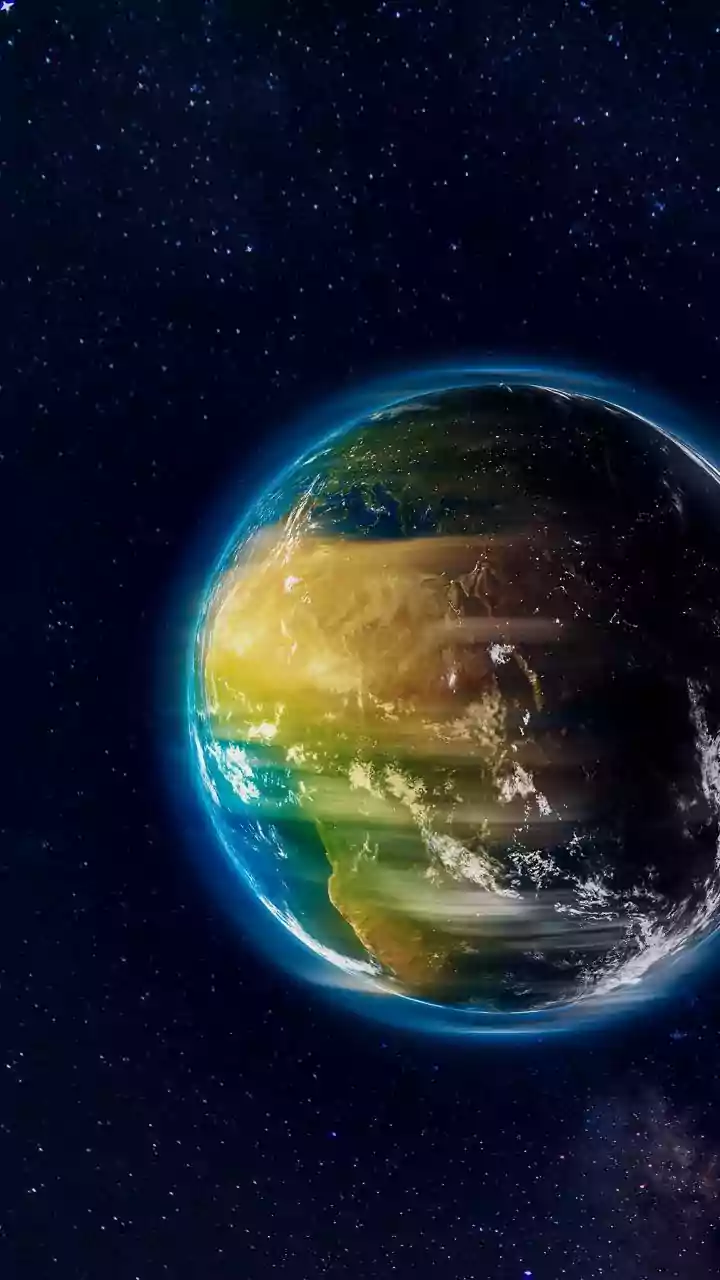
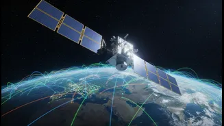
For decades, NASA's satellites have been the eyes in the sky, tirelessly observing Earth. This has resulted in a staggering collection of data, approaching 180 petabytes and expected to surge to nearly 600 petabytes by the early 2030s. This torrent of information
holds critical clues about climate change, natural disasters, and the health of our ecosystems. However, the sheer volume makes it nearly impossible for human analysts to sift through it efficiently. For time-sensitive events like wildfires, floods, or volcanic eruptions, speed is everything. Traditional methods of data analysis are too slow, creating a bottleneck between data collection and actionable insight. This is the core challenge NASA aims to solve: shrinking the time between observation and understanding.
Enter Prithvi, An AI for Earth
To tackle this data deluge, NASA partnered with IBM to develop a groundbreaking artificial intelligence tool. Known as a geospatial foundation model and named 'Prithvi' (from the Sanskrit word for Earth), this AI is designed specifically to interpret satellite imagery. Unlike general AI, Prithvi was trained on a massive, curated dataset of Harmonized Landsat and Sentinel-2 (HLS) satellite imagery, essentially teaching it the visual language of our planet. The model was released as open-source, meaning researchers, developers, and organizations around the world can access and build upon it, fostering a collaborative approach to Earth science. The goal is to provide a powerful, user-friendly tool that allows more people to analyze complex environmental data without needing supercomputing resources.
How It Makes Monitoring Smarter
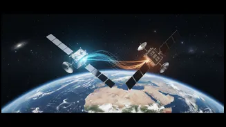
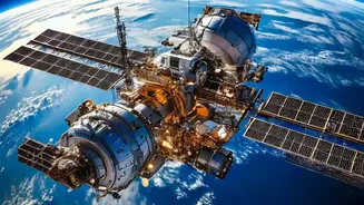
Foundation models like Prithvi work by learning to identify patterns across vast unlabeled datasets. Once this foundational knowledge is established, the model can be quickly fine-tuned with a smaller, labeled dataset for specific tasks. For instance, it can be trained to automatically detect burn scars left by wildfires, map the extent of floodwaters in near-real-time, or classify different types of land use, such as identifying deforestation or predicting crop yields. This dramatically accelerates tasks that would have previously taken experts days or weeks. In a recent milestone, a version of the Prithvi model was successfully deployed on an orbiting platform, demonstrating its ability to perform analysis directly in space for the first time. This opens the door for even faster, more autonomous satellite operations in the future.
Real-World Impact and Future Applications
The applications for this technology are broad and vital. For disaster response teams, getting an accurate map of a flooded area within hours, not days, can save lives. For agriculture, monitoring crop health and predicting yields on a global scale can improve food security. Environmental agencies can track deforestation and changes in biodiversity with greater precision. NASA's GeoAI program aims to translate these advanced capabilities into robust, accessible tools for decision-makers. Recently, researchers at the University of Iowa began a project to integrate NASA Earth-observing data and AI to create a forecasting system for nitrate levels in rivers, directly aiding public water supply management. This is just one example of how this technology is moving from pure research into practical solutions that affect communities directly.