
A City Drenched in Chaos
Every monsoon season, the story repeats itself in cities like Mumbai, Delhi, and Bengaluru. A sudden, intense downpour turns roads into rivers, bringing traffic to a grinding halt. Buses get stranded, local train services are suspended due to waterlogged
tracks, and metro station entry points become inaccessible. The ripple effects are immense: commuters are stuck for hours, emergency services are hampered, and the city's economic pulse flatlines. This reactive scramble against the elements highlights a critical vulnerability in our urban infrastructure. The core problem has always been the unpredictability of 'cloudburst-style' rain events, which can dump a massive amount of water on a very specific area in a short time, overwhelming drainage systems designed for more moderate, widespread rainfall.
The View from Above
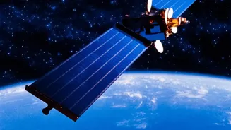
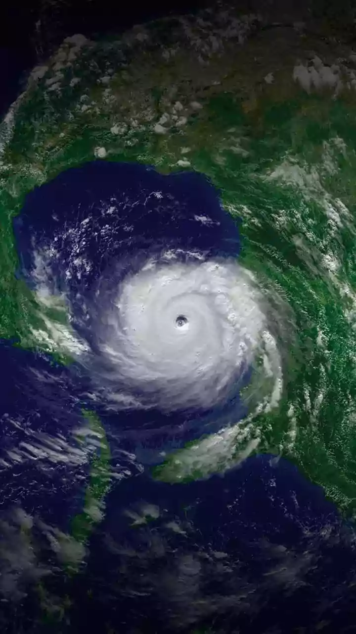
This is where satellite technology is changing the game. It's not just about looking at cloud cover anymore. The real breakthrough comes from technologies like the Global Navigation Satellite System (GNSS), which includes constellations like GPS. As signals from these satellites travel to receivers on Earth, they pass through the atmosphere. Water vapor, the invisible fuel for rain, slows these signals down by a tiny, measurable amount. By analysing these minute delays across a network of ground receivers, scientists can create a detailed, near real-time map of the water vapor concentration in the air. A rapid buildup of this 'precipitable water' in a specific area is a powerful precursor to heavy rainfall, giving authorities a crucial heads-up.
From Prediction to Protection
This highly precise data is the foundation of 'nowcasting'—short-term weather forecasting for the next few hours. When a model predicts a high probability of intense rain over a specific part of the city, it triggers a chain of protective actions. Transport authorities can receive an alert 30-60 minutes before the deluge hits. This allows them to proactively reroute bus services away from known waterlogging hotspots. The city's traffic management system can adjust signal timings to clear traffic from vulnerable corridors. Metro rail operators can deploy water pumps at underground stations forecasted to be in the path of the storm. Even ride-hailing services can temporarily adjust operational zones to keep their drivers and passengers safe.
Making Indian Cities More Resilient
In India, the Indian Meteorological Department (IMD) is already leveraging satellite data and Doppler radars to provide nowcasting services, issuing localised warnings for severe weather events. The challenge is integrating this data seamlessly into the operational command centres of municipal corporations and transport agencies. The vision is a 'system of systems' where weather alerts automatically inform infrastructure responses. For the average person, this means receiving a timely notification on a public transit app advising them to delay their journey or take an alternative route. It means fewer hours spent stuck in traffic on a flooded road and a more reliable and resilient public transport system, even when the weather is at its worst. This technology doesn't stop the rain, but it gives our cities the intelligence to withstand it.