







First, What Is El Niño?
El Niño is a naturally occurring climate pattern, not a weather event like a single storm. It's defined by the unusual warming of the surface waters in the central and eastern equatorial Pacific Ocean, a process that happens every two to seven years.
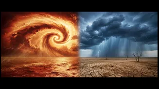
Think of the Pacific as a massive engine influencing global weather. Normally, strong trade winds blow from east to west, piling up warm water near Asia and fuelling the Indian monsoon. During an El Niño, these winds weaken, allowing the vast pool of warm water to slosh back eastward, toward South America. This shift releases enormous amounts of heat into the atmosphere, disrupting typical weather patterns around the world.
How Does It Affect India's Monsoon?
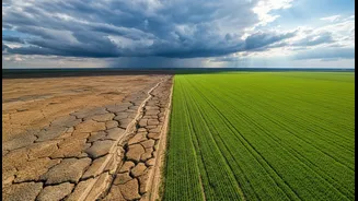
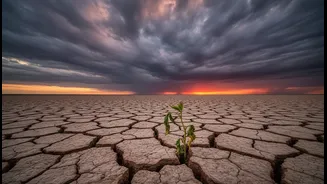
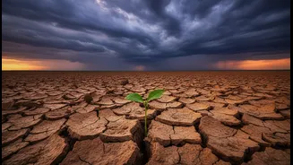
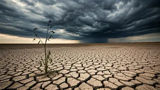
The connection is atmospheric. The warming of the Pacific Ocean during an El Niño changes air pressure and circulation patterns globally. For India, this disruption typically weakens the monsoon winds that carry moisture from the ocean to the subcontinent. The result is often reduced rainfall, leading to fears of drought. Historically, the link is significant; since 1980, all of India's major droughts have occurred during El Niño years. However, and this is the crucial part, the correlation is not one-to-one. Not every El Niño year has resulted in a drought in India.
The Wild Card: The Indian Ocean Dipole
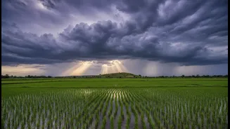
El Niño isn't the only major player. India's weather is also heavily influenced by the Indian Ocean Dipole (IOD), sometimes called the 'Indian El Niño'. The IOD refers to the temperature difference between the western and eastern parts of the Indian Ocean. When the western part (near the Arabian Sea) is warmer than the east, it's a 'positive' IOD. This phase tends to boost monsoon rains over India by pushing more moisture towards the subcontinent. A strong positive IOD can sometimes counteract the negative effects of an El Niño. For example, in 1997, a 'Super El Niño' was underway, yet India received normal rainfall, thanks in large part to a strong positive IOD. Conversely, a 'negative' IOD can worsen drought conditions.
The 2026 Outlook: A Below-Normal Forecast
For 2026, the India Meteorological Department (IMD) has forecast that the southwest monsoon is likely to be below normal, at around 90-92% of the Long Period Average. This forecast comes as weak El Niño conditions are already present and expected to strengthen during the monsoon season. The World Meteorological Organization (WMO) has also indicated that the El Niño event is likely to strengthen rapidly from July to September 2026. The June rainfall has already been deficient in many areas. Currently, the IOD is in a neutral phase and is expected to remain so, meaning it may not provide the rescue it has in past El Niño years.
Why It Matters Beyond the Farm
A weak monsoon has consequences that ripple through the entire Indian economy. With over half of India's cultivated land being rain-fed, a deficit directly impacts agricultural output, affecting the livelihoods of millions of farmers and potentially driving up food inflation. But the impact doesn't stop there. Lower rainfall reduces water levels in reservoirs, affecting hydropower generation and increasing pressure on the power grid. A recent report suggests the combination of lower renewable generation (from hydro and wind) and increased electricity demand for cooling during an El Niño could force a greater reliance on coal power.