






The Pacific's Great Tug-of-War
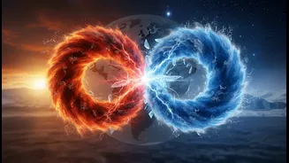
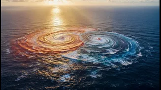
At its heart, the whole phenomenon is a natural cycle called the El Niño-Southern Oscillation, or ENSO. It's a periodic shift in sea surface temperatures and the air pressure above the tropical Pacific Ocean. This cycle swings irregularly between three
states: El Niño (the warm phase), La Niña (the cool phase), and a neutral phase in between. These shifts happen every two to seven years and can last for about a year or two. Think of it as a giant, slow-motion weather engine. Changes in this vast ocean release heat or absorb it from the atmosphere, creating a ripple effect on weather patterns across the globe, including right here in India.
El Niño: The Unpredictable Warm Guest
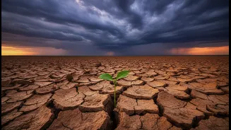
El Niño, which means "the Christ Child" in Spanish, was named by fishermen who noticed the Pacific waters off South America warming around Christmas time. During an El Niño, the normally strong east-to-west trade winds over the Pacific weaken. This allows the vast pool of warm surface water that usually sits in the western Pacific (near Asia) to slosh eastward, toward South America. This warming of the central and eastern Pacific Ocean is the defining feature of El Niño. For India, this typically spells trouble. An El Niño is strongly linked with a weaker southwest monsoon. The altered wind patterns can disrupt the moisture-laden winds that are the lifeblood of our agriculture, often leading to below-average rainfall and, in some cases, drought conditions. Historically, many of India's drought years have coincided with El Niño events.
La Niña: The Cooler, Wetter Sibling
La Niña is essentially the opposite of El Niño. During a La Niña event, the east-to-west trade winds become even stronger than usual. This pushes more warm surface water toward Asia and pulls up cold, deep ocean water off the coast of South America. This results in cooler-than-average sea surface temperatures across the eastern and central Pacific Ocean. For India, La Niña is often a welcome sign. These conditions are generally associated with a stronger-than-normal monsoon, bringing ample and sometimes excess rainfall to the subcontinent. While this is often a boon for agriculture and replenishing water reservoirs, it can also increase the risk of flooding in some regions. Nearly all La Niña years have resulted in average or above-average monsoon rainfall for India.
A Tale of Two Monsoons
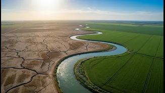
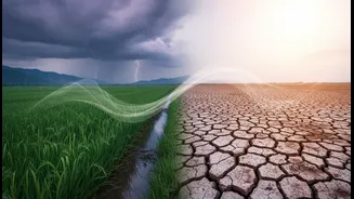
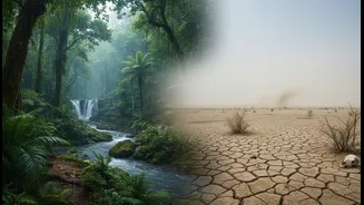
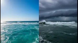
The simplest way to remember the difference is this: El Niño often brings less rain to India, while La Niña often brings more. For a country where the economy and the livelihoods of millions are tied to the monsoon, this difference is critical. A weak monsoon during an El Niño year can strain water resources, impact crop yields, and drive up food prices. Farmers face uncertainty, and governments have to prepare for potential water shortages. A strong monsoon during a La Niña year, on the other hand, can lead to bumper crops and economic prosperity, but also requires vigilance against floods and water-logging. However, it's not always a perfect one-to-one relationship. Other factors, like the Indian Ocean Dipole (a similar temperature variation in our own ocean), can sometimes offset El Niño's drying effect or intensify La Niña's rains.
What's Happening Now?
As of mid-2026, forecasters have noted that El Niño conditions are present and expected to strengthen. According to the World Meteorological Organization and other climate centres, there is a high probability of the current El Niño event persisting through the end of the year. Scientists are monitoring its development closely, as a strong event can have significant global impacts on temperature and precipitation. These forecasts are crucial for governments and various sectors like agriculture to prepare for the potential weather patterns ahead. While the El Niño is expected to strengthen, its exact impact can vary and is continuously monitored by meteorological departments worldwide.