



Seeing the Invisible From Orbit
For decades, finding methane leaks along sprawling pipeline networks was a difficult, resource-intensive task relying on ground crews or low-flying aircraft. But today, an array of sophisticated satellites orbits the Earth with a singular purpose: to hunt
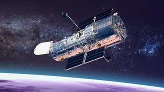
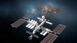
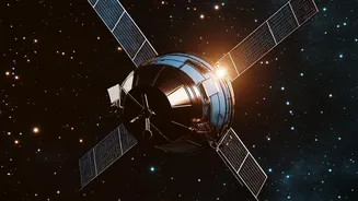
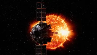
for this invisible gas. These orbital sentinels are equipped with hyperspectral sensors, a revolutionary technology that can detect and even quantify major methane emissions from hundreds of kilometres above the planet's surface. This capability transforms leak detection from a reactive, ground-based effort into a proactive, global monitoring system, offering a game-changing tool for both industry and environmental regulators.
The Methane Fingerprint
Hyperspectral sensors work by analyzing light that the human eye cannot see. When sunlight passes through the atmosphere and reflects off the Earth's surface, molecules in the air absorb specific wavelengths. Methane has a unique spectral "fingerprint," absorbing light in the shortwave infrared (SWIR) part of the spectrum. The sensors on these satellites are essentially highly advanced spectrometers that measure the light reflecting from Earth in hundreds of narrow spectral bands. When a satellite passes over a methane plume, its sensor detects the tell-tale absorption pattern, revealing the presence, concentration, and location of the gas leak below with remarkable precision.
The Key Players in the Sky
A growing ecosystem of public, private, and non-profit entities operates these methane-hunting satellites. Commercial companies like the Canadian firm GHGSat have launched a constellation of high-resolution satellites capable of pinpointing emissions from individual industrial facilities. Simultaneously, public-private partnerships such as Carbon Mapper—a coalition including NASA's Jet Propulsion Laboratory and Planet Labs—are deploying satellites like Tanager-1 to detect and quantify "super-emitters" at a facility scale. These high-resolution satellites often work in tandem with wider-coverage public missions, like the European Space Agency's Sentinel satellites, which scan vast regions to identify methane hotspots worthy of a closer look.
What 'Real Time' Really Means
While the technology is powerful, the term "real time" requires some context. It isn't instantaneous like a live video feed. Rather, it refers to a significant acceleration in the detection-to-notification cycle. A satellite might pass over a pipeline corridor, capture data, and downlink it for analysis. Using advanced algorithms and machine learning, potential methane plumes are identified, quantified, and verified. The entire process—from detection to alerting a facility operator or government agency—can happen within days or even hours. This near-real-time capability, facilitated by systems like the UN's Methane Alert and Response System (MARS), is a monumental leap from traditional methods that could take weeks or months, allowing for rapid response to fix leaks that would otherwise persist.
A New Era of Accountability and Efficiency
The impact of this technology is twofold. For energy companies, it offers a powerful tool for operational efficiency. Every methane leak is lost product, so finding and fixing them quickly can yield significant financial savings and prevent waste. Several operators now incorporate satellite data into their Leak Detection and Repair (LDAR) programs to enhance efficiency. For governments and environmental groups, this data provides a new layer of transparency and accountability. By making emissions visible and public, satellites empower regulators and stakeholders to ensure that companies and countries are meeting their commitments to reduce greenhouse gas emissions, such as those made under the Global Methane Pledge.