





The Predictable and the Unpredictable
On a large scale, meteorologists are quite good at predicting the big picture of the Indian monsoon. They can forecast its arrival over the subcontinent and make reasonable estimates of whether the total seasonal rainfall will be normal, below normal, or above
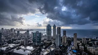
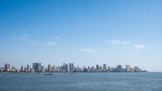
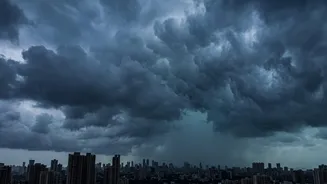
normal. This is crucial for agriculture and national water management. However, this is where the certainty ends and the complexity begins. While the India Meteorological Department (IMD) might predict a 'wet' week, forecasting the exact intensity, timing, and location of rainfall within a city as dense as Mumbai remains a monumental task. The difference between a day of manageable showers and a sudden, crippling downpour that brings the city to a standstill is a matter of hyperlocal conditions that large-scale models often miss.
Mumbai's Unique Geographical Puzzle
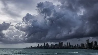
Forecasting for Mumbai isn't just about tracking clouds over the Arabian Sea. The city's specific geography creates a cocktail of weather variables that are incredibly difficult to model. The towering Western Ghats nearby play a significant role, as moisture-laden monsoon winds are forced upward, causing them to release rain. The interaction between weather systems in the Arabian Sea and those in the Bay of Bengal can also drastically alter rainfall patterns. A slight shift in wind direction or pressure can mean the difference between a deluge over South Mumbai or a downpour in the suburbs. Adding to this is the 'urban heat island' effect, where the concrete and asphalt of the city retain heat, further influencing local atmospheric conditions and rainfall intensity.
The 'Steroid' Effect of Climate Change
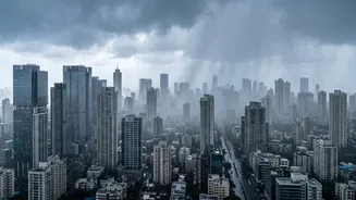
Climate change is rewriting the rules of the monsoon. Historical data, once the bedrock of forecasting, is becoming less reliable as weather patterns grow more erratic. Scientists describe climate change as a 'steroid' for weather events. A warmer atmosphere can hold more moisture, and the rapidly warming Arabian Sea provides extra fuel for the monsoon. This doesn't necessarily mean more rainy days, but it does mean that when it does rain, the downpours are often shorter, more intense, and more destructive. This trend of increasing rainfall intensity has been observed over recent years, complicating predictions and overwhelming the city's infrastructure, which was not designed for such sharp, sudden bursts of rain.
The Limits of Forecasting Models
Even with advanced supercomputers and sophisticated numerical models, forecasting has its limits. A key challenge is the dynamic and often chaotic nature of tropical weather. A minor change in an initial weather parameter can lead to a vastly different outcome 24 to 48 hours later, potentially shifting a predicted heavy rainfall zone by 50 to 100 kilometres. This explains why the IMD sometimes issues a heavy rain alert that results in only light showers, or vice-versa. While the accuracy for short-term forecasts (up to 3 days) is relatively high, it decreases significantly for extended predictions. This makes planning for specific events beyond a few days an exercise in probability rather than certainty.
Toward Better Preparedness
If perfectly accurate seasonal forecasts are still out of reach, the focus shifts to mitigation and adaptation. Significant progress is being made in 'nowcasting'—providing real-time, highly localized predictions for the next few hours. This is invaluable for issuing immediate public warnings. Recently, the IMD has also begun implementing AI-powered models to provide block-level forecasts, aiming for hyperlocal accuracy that can be a game-changer for farmers and urban planners. Ultimately, the solution lies in a dual approach: continuing to improve forecasting technology while also investing in climate-resilient infrastructure, from better drainage systems to protecting natural sponges like mangroves, to better handle the water when the inevitable, unpredictable downpours arrive.