






A Natural Fortress Against Nature's Fury
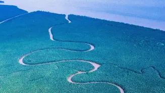
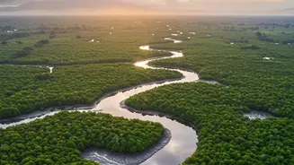
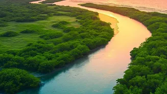
Stretching across India and Bangladesh, the Sundarbans is more than just a forest; it's a dynamic, living barrier. For the millions of people living in this low-lying delta region, the dense network of mangrove trees is the first and most important line
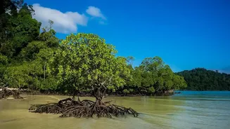
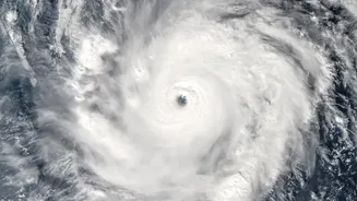
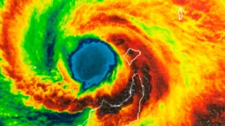
of defense against cyclones, storm surges, and coastal erosion. The intricate root systems of the mangroves act like a net, trapping sediment and stabilizing the land. When powerful storms roll in from the Bay of Bengal, the forest absorbs a significant portion of the wave energy, reducing flooding and protecting homes and agricultural lands further inland. This natural protective service is indispensable in a region facing the increasing frequency and intensity of extreme weather events due to climate change.
The Challenge of Measuring a Shifting Forest
For decades, accurately assessing the health and defensive capacity of the Sundarbans has been a monumental challenge. The vast, inaccessible terrain, crisscrossed by tidal rivers and creeks, makes comprehensive ground surveys nearly impossible. Scientists need to know more than just the total area of the forest; they need to understand its density, the height of the trees, the species composition, and how these factors change over time. Factors like rising sea levels, changes in freshwater flow from upstream, and pollution constantly stress the ecosystem, causing some areas to degrade while others might grow. Understanding this constant flux is critical to predicting how well the forest can withstand the next super-cyclone. Without a clear and continuous view, conservation efforts are like navigating without a map.
A New Eye in the Sky: Satellite Breakthroughs
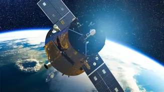
This is where modern satellite technology has become a game-changer. Recent advancements have moved beyond simple photographs of the forest. Scientists now use a suite of sophisticated tools to peer into the mangroves' health with incredible detail. Satellites like the Sentinel series from the European Space Agency provide high-resolution optical data, which machine learning algorithms can analyze to monitor changes in forest cover and health over time. One key technique involves using the Normalized Difference Vegetation Index (NDVI), which measures the 'greenness' to assess plant health. Furthermore, radar-based systems (like InSAR) and LiDAR technology can penetrate cloud cover and even measure structural properties like tree height and land subsidence, giving a three-dimensional picture of the forest's structure and the stability of the ground beneath it.
From Pixels to Protection Policies
The data gathered from these satellites is not just for academic research; it translates directly into actionable policy and conservation strategies. By identifying areas where the mangroves are thinning or 'browning', authorities can target reforestation and restoration efforts precisely where they are needed most. For example, after a major cyclone like Amphan, scientists could rapidly assess the extent of the damage using satellite imagery, informing recovery plans. This data also helps in modeling the 'coastal defense power' of different forest patches. Knowing which areas offer the most protection allows for better planning of coastal infrastructure and the development of more effective early warning systems for communities. This fusion of remote sensing and on-the-ground action creates a powerful feedback loop for adaptive management of this vital ecosystem.
The Human Connection to a Healthier Forest
Ultimately, the story of the Sundarbans is a human one. The 4.5 million people in the Indian part of the delta depend on the mangroves not just for protection, but also for their livelihoods, including fishing and honey collection. When the mangrove shield is strong, communities are safer and more prosperous. The breakthroughs in satellite imaging provide a crucial tool for safeguarding these communities. By ensuring the long-term health and resilience of the mangrove ecosystem, this technology helps preserve a unique way of life that has been intertwined with the forest for centuries. Recent studies have shown that despite the pressures, global mangrove cover has seen a recovery in many areas, highlighting that conservation efforts, guided by precise data, can and do work.