





A 'Below Normal' National Outlook
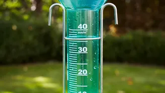
On July 31, the IMD projected that rainfall for the crucial months of August and September is likely to be 'below normal', meaning less than 94% of the Long Period Average (LPA). This forecast covers the entire country and suggests a weaker second half
for a monsoon season that already had a shaky start with a significant deficit in June. The primary driver for this subdued forecast is the strengthening of El Niño conditions over the Pacific Ocean, a phenomenon historically linked to weaker monsoon rains in India. While July brought a recovery with near-normal rainfall, it wasn't enough to erase the early deficit, leaving the cumulative seasonal rainfall still well below average.
The Problem with Averages
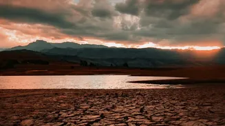
A national average, while a useful benchmark, can often mask significant regional disparities. The monsoon doesn't fall uniformly across the subcontinent. The IMD's own forecast hints at this complexity, suggesting that while many parts of the country will see deficient rain, some areas in peninsular, central, and northeast India might receive normal to above-normal rainfall. This uneven distribution is the crux of the problem. A downpour in a region that is already flooded does not help a farmer in a parched district hundreds of kilometers away. For water security, what matters more than the national average is where the rain falls—specifically, whether it falls in the catchment areas of our major reservoirs.
The Reservoir Reality Check
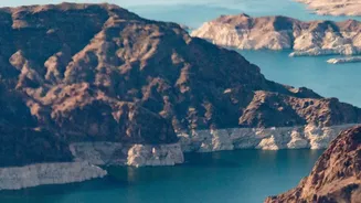
This is where the headline finds its truth. Data from the Central Water Commission (CWC) paints a worrying picture that a simple rainfall average doesn't capture. As of late July 2026, the water storage in India's 166 major reservoirs was significantly below the levels of the previous year and was also tracking below the ten-year average. The situation is particularly acute in South India, where reservoir levels were reported to be at just 33.73% of capacity, compared to 75.36% during the same period last year. Even in central and eastern India, storage levels are lower than in 2025. This means that even before the predicted 'below-normal' phase of the monsoon, our primary water storage systems are already under stress.
Why Catchment Areas Are Key
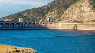
Reservoirs don't fill up just because it rains in a city. They depend on sustained, widespread rainfall across vast river catchment areas. The poor distribution of rain in June and July meant that many of these critical zones received inadequate flows. For instance, key reservoirs like Srisailam, Nagarjuna Sagar, and Krishnaraja Sagar in the south were reported to have storage levels at or below 80% of what is considered normal for this time of year. The forecast for below-normal rain in August across many parts of the country suggests that the inflow into these dams may not improve significantly. This has direct consequences for everything from drinking water supply for major cities to the availability of water for the upcoming Rabi crop season.
Impact on Agriculture and Beyond
The disconnect between a broad rainfall figure and on-ground water availability is most deeply felt in the agricultural sector. Over half of India's farmland is rain-fed, making it highly vulnerable to the monsoon's whims. A weak second half of the monsoon, coupled with low reservoir levels, puts the Kharif crops at risk and jeopardizes the sowing for winter crops. Farmers may be forced to shift to less water-intensive crops, potentially affecting food production and contributing to inflationary pressures. Beyond the farm, low reservoir levels impact hydropower generation, which is crucial for meeting energy demands, especially with the IMD also forecasting above-normal temperatures for August. This combination of less rain and higher heat will further strain both our water and power resources.