

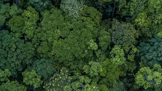

Discover how the NASA-ISRO NISAR satellite's advanced radar technology provides crucial data on India's groundwater levels and forest health.
A Collaborative Eye in the Sky
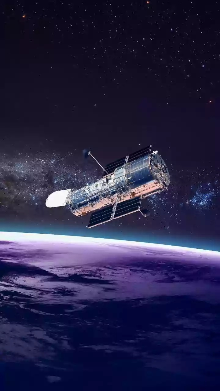
NISAR is a joint Earth-observing mission, a remarkable collaboration between the US space agency, NASA, and the Indian
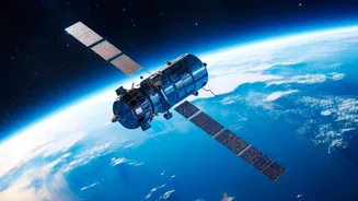
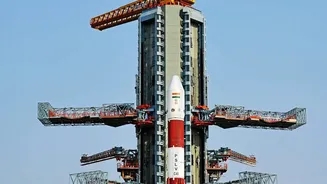
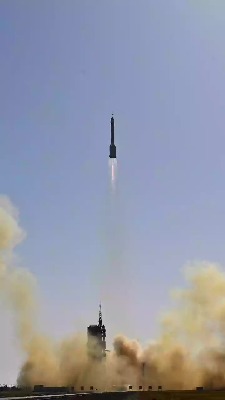
Space Research Organisation (ISRO). Launched aboard an Indian GSLV rocket, this advanced satellite is equipped with sophisticated dual-frequency radar instruments. NASA provided the L-band radar, while ISRO contributed the S-band radar. Together, these systems work in concert to scan nearly all of Earth's land and ice surfaces, mapping the globe with stunning regularity—completing a full picture every 12 days. This rapid revisit time is crucial, allowing scientists and policymakers to track changes with incredible precision and timeliness, something previously impossible on such a vast scale. The mission is designed to systematically monitor the planet and provide data that is free and open, empowering a new era of environmental stewardship.
How Radar Sees the Unseen
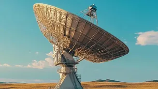
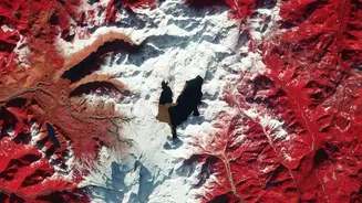
Unlike optical satellites that rely on light and are hindered by clouds or darkness, NISAR uses Synthetic Aperture Radar (SAR). SAR is an active system that works by sending pulses of microwave energy towards the Earth's surface and measuring the reflected signals, or 'echoes'. This allows it to see through clouds, rain, and the dark of night, providing a consistent and reliable stream of data. The 'synthetic aperture' part is a clever technique where the motion of the satellite is used to simulate a much larger antenna than could physically fit on a spacecraft. This process creates incredibly detailed, three-dimensional images of the surface. By comparing images taken on its repeated 12-day cycles, NISAR can detect minute changes—as small as a centimetre—in the Earth's surface.
Tracking Every Drop of Groundwater
For a nation where groundwater is a lifeline for agriculture and drinking water, NISAR's ability to monitor aquifers is revolutionary. The satellite doesn't see water underground directly. Instead, it uses a technique called Interferometric SAR (InSAR) to detect tiny changes in the ground level. When large volumes of water are pumped out from underground aquifers, the ground above can sink slightly, a phenomenon known as subsidence. Conversely, when aquifers are replenished during monsoon seasons, the ground may rise. NISAR can measure this vertical movement with centimetre-scale accuracy. By tracking these subtle shifts across the country, authorities can identify areas of severe groundwater depletion, assess the effectiveness of water conservation and recharge projects, and ultimately create more sustainable water management policies. This is vital for managing resources and ensuring long-term water security.
A Digital Census of India's Forests
NISAR's dual L-band and S-band radars are uniquely suited for monitoring India's diverse forest landscapes. Different radar frequencies penetrate the forest canopy to different depths. The longer wavelength L-band radar can travel through leaves and smaller branches to interact with the larger tree trunks and limbs, while the S-band provides information about the upper canopy. By combining data from both radars, scientists can build a detailed 3D map of the forest structure. This allows for an accurate estimation of forest biomass—the total amount of organic matter, which is primarily carbon. This capability is critical for tracking deforestation and forest degradation, monitoring the progress of afforestation programs, and calculating national carbon stocks to meet climate change mitigation goals. It essentially provides a recurring, high-resolution national forest inventory from space.
A Broader National Impact
The applications for NISAR's data extend far beyond just groundwater and forests. The mission is set to significantly enhance India's disaster management capabilities by monitoring land deformation that can signal risks of earthquakes, volcanic activity, and landslides, particularly in the fragile Himalayan region. In agriculture, the radar can measure soil moisture, helping to improve crop yield forecasts and irrigation strategies. It will also monitor the health and extent of wetlands, track the melting of glaciers, and observe changes along India's vast coastline. By providing a comprehensive and dynamic view of the entire Indian subcontinent, NISAR empowers evidence-based decision-making across numerous sectors, from environmental protection to infrastructure safety and climate resilience.