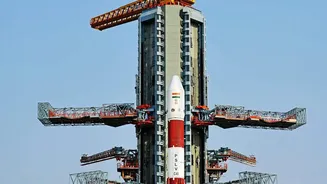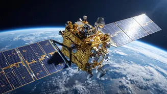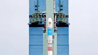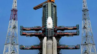


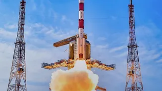
India's journey toward a fully self-reliant satellite navigation system is taking another major step forward with the NVS-03 satellite. This mission is critical for bolstering the NavIC constellation, our nation's answer to GPS.
Strengthening India’s Own GPS
NVS-03 is the third satellite
in a new series of five (NVS-01 to NVS-05) designed to strengthen and upgrade the Navigation with Indian Constellation (NavIC) system. NavIC is India's indigenous regional navigation network, providing accurate Position, Navigation, and Timing (PNT) services. It covers the entire Indian mainland and extends up to 1,500 kilometres beyond its borders. The push for a sovereign system like NavIC was famously accelerated after the denial of American GPS data during the 1999 Kargil conflict, highlighting the strategic need for self-reliance. A fully functional NavIC provides crucial, uninterrupted services for both civilian and military applications, from vehicle tracking and disaster management to guiding precision weapons and supporting secure communications for the armed forces.
Why This Launch Is Critical
The health of the NavIC constellation has faced challenges. The first generation of satellites experienced failures with their imported rubidium atomic clocks, which are essential for the ultra-precise timekeeping needed for accurate positioning. With some satellites completing their mission life and a setback with the NVS-02 satellite failing to reach its operational orbit, the constellation's capacity dropped below the minimum of four operational satellites required for standalone positioning services. While timing services remained functional, the ability to independently determine a position was hampered. The successful launch of NVS-03 on October 30, 2026, was a crucial step to restore this core capability, bringing the number of fully functional PNT satellites back to the required minimum of four.
New Tech for a New Generation
The second-generation NVS satellites are packed with significant upgrades. A key feature is the inclusion of an indigenously developed rubidium atomic clock, built by the Space Applications Centre in Ahmedabad. This reduces India's reliance on foreign components for such a critical system. Another major enhancement is the addition of a new civilian L1 frequency band (1575.42 MHz). This is a game changer because the L1 band is widely used by other global navigation systems like GPS, Galileo, and BeiDou. Its inclusion makes NavIC signals more interoperable and compatible with a broader range of commercial devices, potentially paving the way for NavIC support in everyday smartphones, wearables, and vehicle navigation units.
From Orbit to Operation
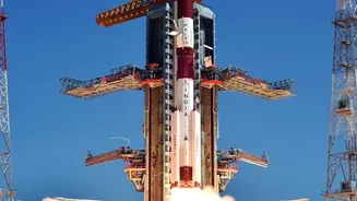
A successful launch is just the beginning. After being placed into a Geosynchronous Transfer Orbit (GTO) by the GSLV -F18 rocket, the NVS -03 satellite begins the complex process of testing and commissioning. This multi -stage phase involves ISRO 's engineers firing the satellite 's onboard liquid apogee motor in a series of manoeuvres to raise it from its initial elliptical orbit to its final geosynchronous orbit at an altitude of about 36,000 km. Once in position, the teams on the ground will deploy its solar panels and antennas. Then begins a period of exhaustive testing to ensure all subsystems are working perfectly in the harsh environment of space. This includes validating the performance of the navigation payload and the new atomic clocks before the satellite is officially declared operational and integrated into the NavIC network.