

The Pacific's Great See-Saw: El Niño and La Niña
At the heart of this global climate story is the El Niño-Southern Oscillation, or ENSO, a recurring natural cycle in the tropical Pacific Ocean. Think of it as a giant oceanic see-saw with two opposing states: El Niño and La Niña. Under normal conditions,
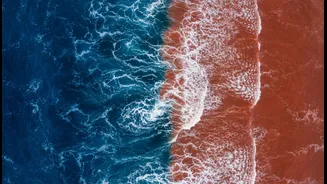
trade winds blow from east to west across the Pacific, pushing warm surface water towards Asia. During an El Niño event, these trade winds weaken or even reverse. This allows the massive pool of warm water to slosh back eastward, towards the coast of South America. La Niña is its mirror image. The trade winds become even stronger than usual, piling up more warm water in the western Pacific and causing cool, deep water to rise to the surface in the east. These shifts happen irregularly every two to seven years and can last for about a year or two.
El Niño's Impact: Drier and Warmer
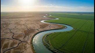
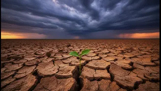
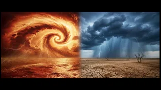
For India, an El Niño year often spells trouble for the monsoon. The warming of the central and eastern Pacific Ocean disrupts normal atmospheric circulation patterns. This change weakens the monsoon winds that are crucial for bringing moisture-laden clouds from the ocean to the subcontinent. The result is often a significant reduction in rainfall during the critical June to September period. Historically, many of India's most severe droughts have been linked to strong El Niño events. A weak monsoon can lead to widespread agricultural distress, lower crop yields, depleted water reservoirs, and increased pressure on the rural economy. While not every El Niño year results in a drought, the probability of below-normal rainfall increases dramatically.
La Niña's Effect: Wetter and Cooler
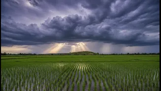
If El Niño is the villain of the monsoon story, La Niña is often cast as the hero. During a La Niña phase, the intensified trade winds and the cooling of the eastern Pacific have the opposite effect. These conditions tend to strengthen the Indian summer monsoon, leading to normal or even above-normal rainfall across the country. The years 2020, 2021, and 2022, for instance, were La Niña years that saw robust monsoon performance. While this is generally good for agriculture and water security, an excessively strong La Niña can also bring challenges, including major flooding in some regions and an altered winter climate.
The Wild Card: The Indian Ocean Dipole
The Pacific Ocean isn't the only player. The Indian Ocean has its own, less famous but equally important, climate pattern called the Indian Ocean Dipole (IOD). Much like ENSO, the IOD involves a see-saw of sea surface temperatures, but between the western Indian Ocean (near the African coast) and the eastern Indian Ocean (near Indonesia). It has three phases: positive, negative, and neutral. A 'positive' IOD, with warmer waters in the west and cooler waters in the east, is generally favourable for the Indian monsoon, as it can help bring more rain. A 'negative' IOD does the opposite and can suppress rainfall.
A Complex Interaction
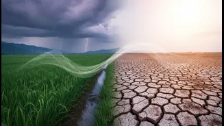
The ultimate character of India's monsoon often depends on how ENSO and the IOD interact. These two phenomena are distinct but can influence each other. A positive IOD can sometimes counteract the negative effects of a developing El Niño, helping to salvage the monsoon season. Conversely, if a strong El Niño combines with a negative IOD, the impact on the monsoon can be severe. Sometimes, a positive IOD occurs alongside an El Niño, or a negative IOD with a La Niña, creating complex and sometimes extreme weather outcomes. This intricate dance between two vast ocean basins makes monsoon forecasting a significant scientific challenge, but one that is crucial for the nation's well-being.