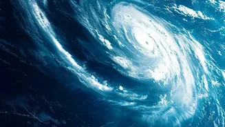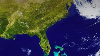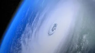






The back-to-back arrival of Cyclones Arnab and Murasu on India’s east coast has left communities reeling and reignited a familiar, complex debate: are storms getting worse, and why is it still so hard to know exactly what’s coming?
A Tale of Two Coasts
For generations, India's
cyclone story was lopsided. The Bay of Bengal was the traditional hotbed of storm activity, historically accounting for four cyclones for every one in the much calmer Arabian Sea. States like Odisha, Andhra Pradesh, and West Bengal were accustomed to bearing the brunt of these annual weather events. However, that long-standing pattern is showing signs of a significant shift. Recent studies have revealed a clear trend: while the Bay of Bengal remains active, the Arabian Sea is warming faster than other ocean basins. This has led to a marked increase in the frequency, duration, and intensity of cyclones forming off India's west coast over the past two decades. There's been a 52% rise in the frequency of cyclonic storms in the Arabian Sea, making states like Gujarat and Maharashtra increasingly vulnerable.
The Climate Change Connection
Scientists are clear on the underlying cause: climate change. Warmer sea surface temperatures provide more energy for storms to feed on. Think of it as adding fuel to a fire. This excess heat doesn't just spawn more storms in unusual places; it makes them stronger and more dangerous. A key phenomenon exacerbated by this warming is 'rapid intensification'. This is when a storm's wind speeds increase dramatically—by 55 km/hr or more—in just 24 hours. Storms that undergo rapid intensification are notoriously difficult to predict, shrinking the critical window for evacuation and preparedness. Forecasters might see a manageable tropical depression one day, only to be faced with a severe cyclone the next, leaving little time for communities to react.
The Puzzle of Prediction
If the long-term trend is clear, why do specific forecasts remain so uncertain? The India Meteorological Department (IMD) has made huge strides in cyclone tracking, but predicting a storm's exact path and intensity is one of the most complex challenges in meteorology. Forecast models rely on a snapshot of initial atmospheric and oceanic conditions. But there are data gaps, especially over the deep ocean where these systems form. A sparse network of buoys and reliance on satellite estimates mean that the starting variables fed into supercomputers have blind spots. Even small inaccuracies at the start can lead to vastly different outcomes in the forecast, creating the 'cone of uncertainty' we often see in prediction maps. Factors like a storm's inner-core dynamics, its interaction with the ocean below, and how it behaves after making landfall are incredibly complex to model with perfect accuracy.
Living with Uncertainty
The challenge for India, then, is two-fold. First is to continue improving the science of shortterm forecasting. But second, and perhaps more importantly, is to prepare for the longterm trend. The lesson from storms like Arnab and Murasu is that we must plan for a future where severe storms are more common, even if we can't be 100% certain about the next one. This means moving beyond just reacting to a 72hour forecast. It involves building climateresilient infrastructure, protecting natural defenses like mangroves that buffer against storm surges, ensuring lastmile connectivity for warnings in remote villages, and creating adaptation strategies for coastal economies. The focus must shift from certainty about a single event to resilience against a persistent pattern.