


An Unblinking Eye in Geosynchronous Orbit
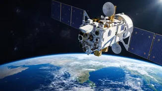
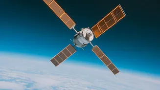
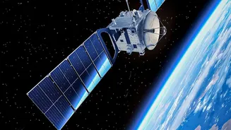
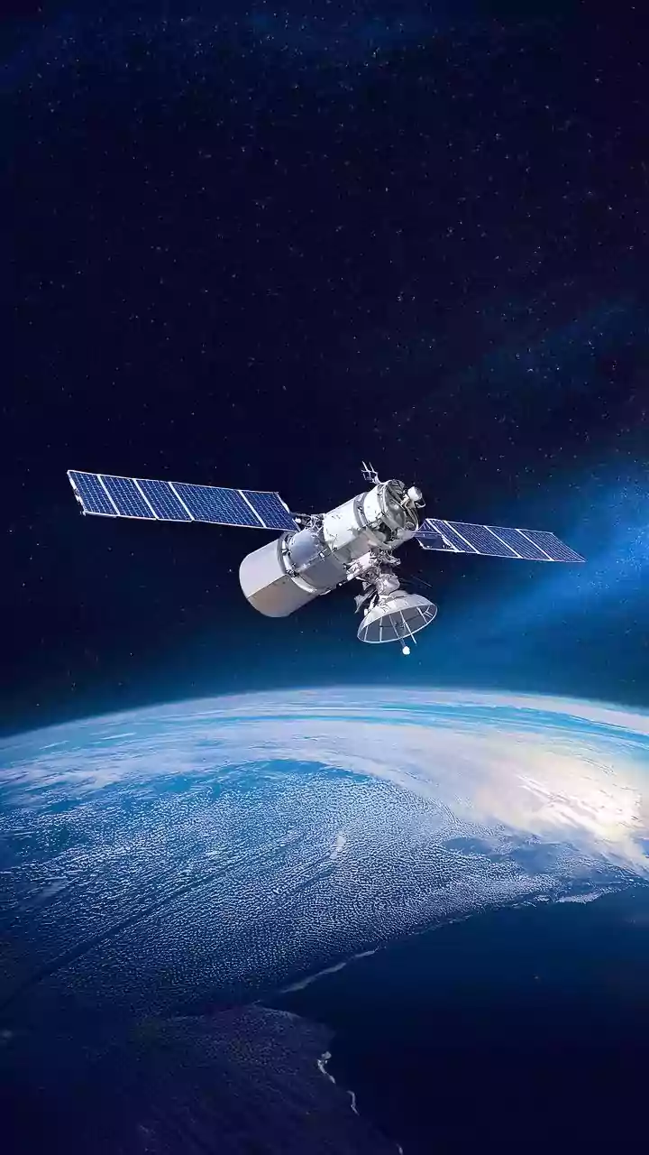
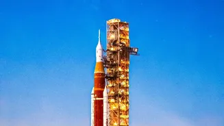
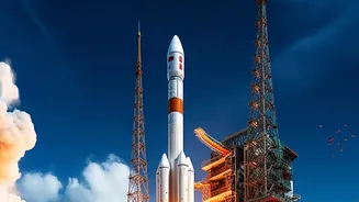
On September 4, 2026, the Indian Space Research Organisation (ISRO) successfully launched the Earth Observation Satellite-05 (EOS-05) from Sriharikota. What makes this satellite a game-changer is its orbit. Unlike previous observation satellites that
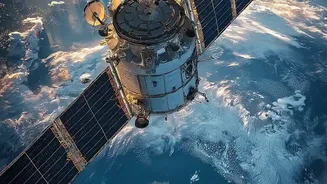
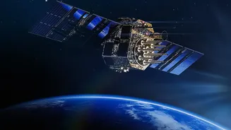
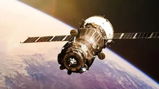
pass over a location periodically, EOS-05 is positioned in a geosynchronous orbit approximately 36,000 kilometres above the Earth. This high-altitude perch allows it to continuously monitor a large portion of the Indian subcontinent. This capability for persistent observation means that instead of waiting for a satellite to revisit a disaster-struck area, authorities can get a near real-time view of unfolding events like floods, cyclones, and forest fires.
Seeing What Others Can't
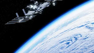
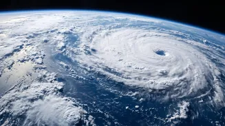
Disasters rarely happen on clear, sunny days. Cyclones bring dense clouds, and floods can occur at night. Many earlier satellites, which rely on optical sensors, are rendered ineffective in such conditions. This is where the true strength of India's Earth observation capabilities comes into play. Satellites like the RISAT (Radar Imaging Satellite) series, including the recently launched EOS-04, use Synthetic Aperture Radar (SAR). This technology can peer through clouds and darkness, providing high-quality images regardless of the weather or time of day. This all-weather capability is crucial for tracking the extent of flooding during a monsoon or monitoring a cyclone's impact as it makes landfall, giving first responders a clear and current operational picture.
From Data to Actionable Intelligence
A satellite image by itself doesn't rescue anyone. The real value lies in how quickly this raw data is converted into actionable intelligence for teams on the ground. ISRO's systems are designed to support every phase of disaster management. Before a cyclone, satellite data helps the India Meteorological Department (IMD) predict its path and intensity, enabling timely warnings and evacuations. During a flood, near real-time imagery helps the National Disaster Management Authority (NDMA) and National Disaster Response Force (NDRF) identify the most inundated areas, pinpoint stranded communities, and plan rescue routes. After a disaster, the images are used for precise damage assessment, helping authorities to allocate relief resources and process compensation claims more efficiently.
The Human Impact of Space Technology
The ultimate goal of this sophisticated technology is to minimise human suffering and economic loss. By providing accurate and timely information, these satellites empower decision-makers to act proactively rather than reactively. Knowing the exact spread of floodwaters can help in deploying rescue boats to the right locations. Identifying the scale of a forest fire can help in directing firefighting efforts more effectively. Furthermore, this data supports long-term resilience. By analysing historical flood patterns or landslide-prone zones, urban planners and policymakers can devise better infrastructure and land-use policies. This extensive data is managed through platforms like the National Database for Emergency Management (NDEM), which serves as a critical information hub for state and central authorities.