





Eyes in the Sky: What Satellites See
Earth Observation (EO) satellites are equipped with powerful sensors that capture images of the Earth's surface. Unlike a standard camera, these sensors can 'see' in different wavelengths of light, including those invisible to the human eye, like near-infrared
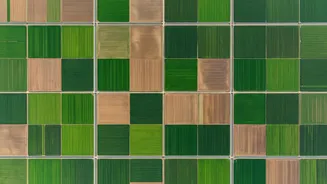
(NIR). Healthy vegetation reflects NIR light very strongly, while it absorbs red light for photosynthesis. By comparing the ratio of this reflected light, satellites can create data-rich maps that reveal the health and vigour of crops across vast areas. This is the core principle behind indices like the Normalised Difference Vegetation Index (NDVI), a key tool in modern precision farming. These satellites, including India's own Resourcesat and RISAT series, pass over every farm in the country every few days, providing a constant stream of information.
From Crop Health to Early Warnings
One of the most significant benefits of this technology is the ability to detect crop stress long before it becomes visible on the ground. A drop in NDVI can signal problems like nutrient deficiencies, pest infestations, or water scarcity up to two weeks before a farmer might notice yellowing leaves. This gives farmers a crucial head-start to investigate and take corrective action, applying treatments only where needed instead of across an entire field. This targeted approach, known as precision agriculture, optimises the use of fertilisers and pesticides, which not only saves money but also reduces environmental impact.
Smarter Water and Soil Management
Water is a precious resource, and satellite data is a game-changer for managing it efficiently. Microwave sensors on satellites like RISAT-1A can measure soil moisture levels even through cloud cover, which is invaluable during the monsoon season. This helps farmers and regional authorities optimise irrigation schedules, ensuring water goes where it's most needed and conserving it in areas prone to drought. Furthermore, by analysing historical satellite data, it's possible to identify consistently low-performing patches of a field, which may point to underlying issues like soil compaction or poor drainage that need to be addressed.
Forecasting Yields and Securing Food Supply
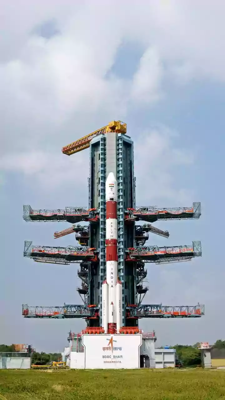
On a national scale, satellite data is crucial for ensuring food security. Government bodies like the Indian Space Research Organisation (ISRO) and the Mahalanobis National Crop Forecast Centre (MNCFC) use satellite inputs for flagship programmes like FASAL (Forecasting Agricultural output using Space, Agro-meteorology and Land-based observations). By classifying what crops are growing where and assessing their health throughout the season, these agencies can generate reliable pre-harvest estimates for major crops like rice, wheat, and cotton. These forecasts help policymakers make timely decisions about food procurement, storage, and trade, stabilising prices and preventing shortages.
Transforming Crop Insurance
Satellite data is also making crop insurance fairer and more efficient. In the past, assessing damage from a flood or drought was a time-consuming and often contentious process. Now, satellite imagery provides objective, large-scale evidence of crop loss, which can speed up insurance claims for affected farmers. Under schemes like the Pradhan Mantri Fasal Bima Yojana (PMFBY), space-based inputs help in planning crop-cutting experiments and validating yield data at the village level, bringing more transparency to the process.