


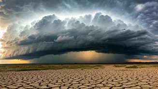


The Sobering Statistics
Let’s start with the hard numbers. According to the India Meteorological Department (IMD), the country as a whole received rainfall that was about 20% below the Long Period Average (LPA) for June. This makes June 2024 the driest since 1901, and some historical
records suggest we might have to go back 146 years to find a June with such a significant deficit. The LPA is the average rainfall received over a 50-year period, serving as the benchmark for what is considered ‘normal’. A deficit of this magnitude in the crucial opening month of the monsoon season sets a worrying tone for agriculture and water reservoirs across the nation.
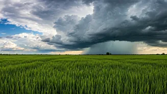
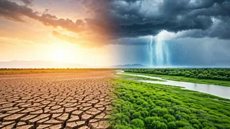
A Monsoon Divided
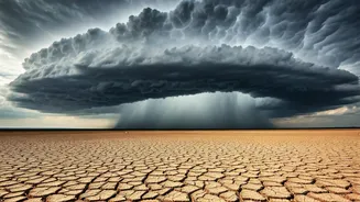
The headline figure of a 20% national deficit doesn't tell the whole story. The reality on the ground is one of sharp contrasts. The monsoon has been particularly weak over Northwest and Central India, regions that are critical for agriculture. States like Uttar Pradesh, Bihar, Punjab, Haryana, and parts of Maharashtra have seen deficits ranging from 60% to over 90%. This is where the rain has been alarmingly scarce. In stark contrast, some parts of the southern peninsula, including Tamil Nadu and areas in the Northeast, have received normal or even surplus rainfall. This geographical split explains the paradox: while it has been raining significantly in some pockets, vast, agriculturally vital swathes of the country have remained parched, dragging the national average down.
What Stalled the Monsoon?
So, what went wrong? The monsoon arrived over Kerala around its usual time but its northward progression was unusually sluggish and weak. For the first three weeks of June, there was a lack of strong weather systems, like low-pressure areas over the Bay of Bengal, that are needed to pull the monsoon currents deep into the Indian mainland. This prolonged 'break' phase meant that the rain-bearing winds failed to reach the northern and central plains on schedule. While the monsoon showed signs of revival in the final week of June, the initial deficit was too large to overcome. This weak start is a major cause for concern, as June rainfall is crucial for preparing the soil and beginning the sowing of key Kharif (summer) crops.
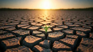
The Impact on the Fields
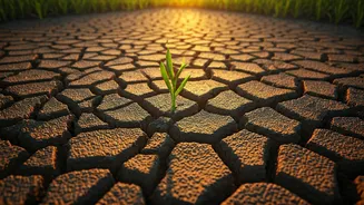
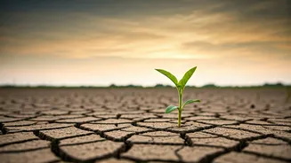
The immediate and most significant impact of a dry June is on agriculture, which employs nearly half of India's workforce. The lack of pre-monsoon and early monsoon showers has delayed the sowing of major Kharif crops, including rice, pulses, soybeans, and cotton. Farmers who depend on rain-fed agriculture are in a particularly vulnerable position. The moisture content in the soil is critically low, making it difficult to plant seeds. This delay not only shrinks the window for the crop's growth cycle but also puts upward pressure on food prices. If the monsoon doesn't pick up significantly in July, it could affect crop yields, farm incomes, and contribute to food inflation later in the year.
Is There Hope for July?
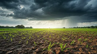
All eyes are now on July, which is statistically the rainiest month of the monsoon season, accounting for about a third of the total seasonal rainfall. The IMD remains hopeful, forecasting a revival and predicting that rainfall for the month of July is likely to be normal. A strong performance in July is absolutely critical to make up for the June deficit and ensure there is enough water for both crops and drinking water reservoirs, which are also at lower-than-average levels. The distribution of this upcoming rain will be just as important as the total volume. A well-distributed rainfall pattern across the parched regions of North and Central India is needed to salvage the Kharif season and ease the growing water stress.