

A New Perspective on Farming
For generations, farmers have relied on walking their fields to check on their crops, a time-consuming process that can easily miss the early signs of trouble. Today, agriculture is undergoing a technological revolution, and one of the most significant
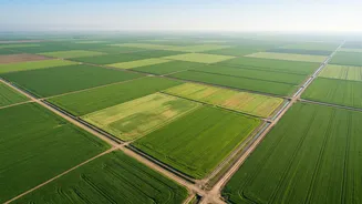
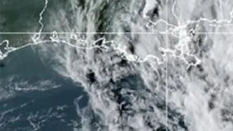
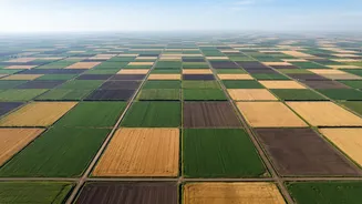
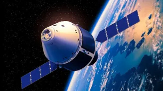
changes is the use of satellite imagery. These satellites provide a comprehensive view of farmland, capturing data that is invisible to the naked eye. This technology allows for the consistent monitoring of crop development across huge areas, making it a cornerstone of modern precision agriculture. By collecting information on everything from soil moisture to plant growth, satellites empower farmers to manage their resources more effectively and react to problems before they escalate.
The Science of Seeing Green
At the heart of satellite-based crop monitoring is a concept called the Normalized Difference Vegetation Index, or NDVI. It sounds complex, but the idea is simple: healthy plants and unhealthy plants reflect light differently. Specifically, healthy vegetation, rich in chlorophyll for photosynthesis, absorbs a lot of red light but reflects near-infrared (NIR) light. Stressed or sparse vegetation does the opposite. Satellites equipped with special sensors measure the ratio of this reflected light. The resulting NDVI value, which ranges from -1 to +1, acts as a reliable indicator of plant density and health. A high value suggests lush, healthy growth, while a low value can signal that crops are struggling.
From Data to Actionable Insights
Raw satellite data is just the beginning. The real value comes from turning these images and index values into practical advice. Specialised software processes the NDVI data to create colour-coded maps of a field. These maps highlight variability, showing farmers exactly which zones are thriving and which are underperforming. A sudden drop in NDVI in a specific patch could be an early warning of a pest infestation, a nutrient deficiency, or water stress, often weeks before the symptoms are visible on the ground. This allows farmers to investigate the problem and apply targeted solutions—such as precise amounts of fertiliser or water—only where needed, saving money and reducing environmental impact.
The Dawn of Precision Agriculture
This ability to monitor and manage fields with such detail is known as precision agriculture. It marks a shift from treating an entire field uniformly to managing it based on the specific needs of different zones. In India, where farm sizes can vary dramatically, this technology gives smallholder farmers access to the same kind of powerful data intelligence used by large agricultural operations globally. Platforms are emerging that deliver these insights directly to a farmer's mobile phone, offering simple, actionable recommendations. This approach helps optimise the use of water, fertiliser, and pesticides, leading to increased yields, lower costs, and more sustainable farming practices.
Challenges and the Path Forward
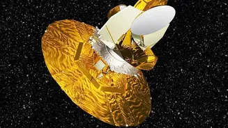
Despite its immense potential, satellite monitoring has limitations. Cloud cover can obscure images, and the resolution of freely available satellite data may not always be sufficient for detecting very fine-scale issues within a field. Furthermore, interpreting the data requires some expertise, and the cost of high-resolution commercial imagery can be a barrier for small-scale farmers. However, technology is constantly improving. The development of new satellites, including India's own Earth Observation systems, promises higher resolution and more frequent updates. As data processing becomes more automated and integrated with artificial intelligence, satellite-driven insights are set to become an even more indispensable tool for ensuring food security in a changing world.