





The Challenge of a Data Deluge
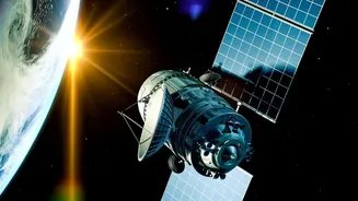
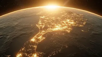
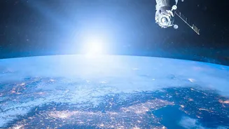
For decades, NASA has been our eyes on the planet, using a fleet of satellites and sensors to collect an unimaginable amount of information about Earth's atmosphere, oceans, and land. This constant stream of data is crucial for understanding climate change,
but its sheer volume presents a monumental challenge. We're talking about petabytes of data—so much that it would be impossible for human scientists to sift through it all. NASA has collected nearly 180 petabytes over the last five decades, a number expected to surge towards 600 petabytes by the early 2030s. This data holds the secrets to everything from melting ice caps to the subtle shifts in weather patterns, but unlocking those secrets requires a tool that can process information at an unprecedented scale. Traditional methods of analysis are too slow and can't keep pace with the influx of new observations, creating a gap between data collection and scientific insight.
An AI Co-Pilot Named Prithvi
To solve this data puzzle, NASA has teamed up with technology giant IBM to develop a new kind of artificial intelligence known as a "foundation model." Dubbed Prithvi-weather-climate—'Prithvi' being the Sanskrit word for Earth—this AI is designed to be a co-pilot for climate scientists. It has been trained on 40 years of historical weather and climate data from NASA's archives. Think of it like a highly advanced student that has spent years studying every weather report and satellite image available. Unlike specialized AI that can only perform one task, foundation models are versatile, like a Swiss Army knife. They can be adapted for a wide range of applications with minimal extra training, from tracking storms to analyzing deforestation. By making this powerful model open source and available to the global research community on platforms like Hugging Face, NASA and IBM are democratizing access to cutting-edge climate science tools.
From Raw Data to Real Discoveries
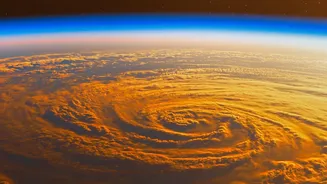
So, what can this AI actually do? Its primary strength lies in its ability to see patterns that humans might miss. The Prithvi model can analyze vast datasets to fill in missing information, improve the resolution of existing maps, and make predictions with greater accuracy. For example, it can take a low-resolution weather map and 'downscale' it, magnifying the detail by up to 12 times. This means an area previously viewed as a 150-square-kilometre block could be seen in much sharper 12.5-square-kilometre segments. This capability is being fine-tuned for a variety of critical tasks, such as detecting burn scars left by wildfires, mapping the extent of floodwaters, and classifying different types of land use. These applications move beyond simple monitoring and into the realm of predictive analysis, helping to forecast the behaviour of natural disasters before they strike.
The Promise of Greater Precision
The term "greater precision" isn't just a technical achievement; it has profound real-world implications. For India, a nation with a vast coastline and an economy heavily reliant on agriculture, more accurate climate models could be a game-changer. More precise forecasts for seasonal precipitation could help farmers plan their crops more effectively, mitigating the risks of both droughts and floods. Better predictions of hurricane tracks and intensity could give coastal cities like Mumbai and Chennai more time to prepare, saving lives and infrastructure. Furthermore, the AI can help pinpoint urban heat islands, a growing problem in India's megacities, and even track the progress of reforestation efforts. By improving our understanding of atmospheric phenomena like gravity waves, which influence weather patterns and airline turbulence, this technology also promises to make air travel safer and global supply chains more resilient.