





An All-Weather Eye in the Sky
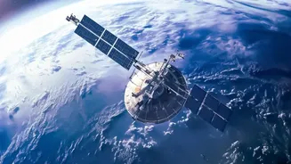
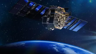
Traditional optical satellites, which work like cameras in space, are often blocked by the very clouds that bring torrential rain. This is where space-based radar, specifically Synthetic Aperture Radar (SAR), comes in. Unlike optical sensors, SAR is an
active system. It sends its own microwave signals down to Earth and measures the echo that bounces back. Because these signals can penetrate clouds, smoke, and the darkness of night, SAR provides an uninterrupted, all-weather view of the ground. This capability is crucial during severe weather events when timely information is most needed but hardest to get.
From Radar Signals to Flood Maps
So, how does a radar signal translate into a flood map? The process relies on how different surfaces reflect the microwave signals. Calm, open water acts like a mirror, reflecting the signal away from the satellite, which results in a dark area in the SAR image. In contrast, land surfaces, buildings, and vegetation scatter the signal in multiple directions, with much of it returning to the satellite, appearing brighter. By comparing an image taken during a flood with a pre-flood 'baseline' image, analysts can instantly identify the dark patches that represent new areas of inundation. This technique allows for the rapid creation of highly accurate flood extent maps, pinpointing exactly which areas are underwater.
Mastering Diverse and Difficult Terrains
India's diverse geography—from the dense urban sprawl of Mumbai to the vast agricultural plains of the Gangetic basin and the forested hills of Kerala—presents unique challenges for flood mapping. SAR technology is uniquely equipped to handle this variety. Its signals can penetrate thin vegetation, enabling the detection of floodwaters concealed beneath a canopy of trees or crops, a common scenario in rural and forested regions. In urban environments, high-resolution SAR can identify water logging in streets and between buildings. This versatility makes it an invaluable tool for disaster managers across the country, providing a consistent method for assessing flood risk regardless of the landscape.
The NISAR Mission: A Landmark US-India Collaboration
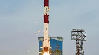
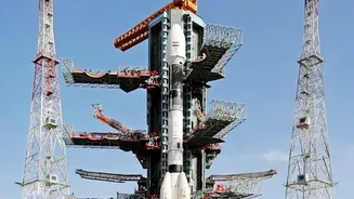
A significant leap forward in this field is the NASA-ISRO Synthetic Aperture Radar (NISAR) mission. This joint project between the US and Indian space agencies is set to launch one of the most advanced radar imaging satellites ever built. NISAR will scan nearly the entire globe every 12 days, providing high-resolution data that will be crucial for a multitude of applications, including flood forecasting and monitoring. For India, NISAR will provide unprecedented, reliable data to augment the existing network of ground-based river gauges. It can act as a 'virtual stream gauge', measuring even centimetre-level changes in water levels in flooded vegetation, which helps in predicting how a flood will travel downstream. The data, expected to be available within hours during disasters, will empower Indian agencies to issue more precise warnings and manage water resources more effectively.
Beyond Forecasting: Aiding Response and Recovery
The utility of space-based radar extends well beyond simply predicting a flood. During an event, near real-time flood maps guide emergency response teams, helping them identify the worst-hit areas and locate stranded populations. After the waters recede, the same data is used for damage assessment. By quantifying the extent of inundated agricultural land or the number of affected properties, authorities can streamline relief efforts and more accurately calculate economic losses. This comprehensive view, from prediction to recovery, makes SAR a holistic tool for disaster management, helping to build long-term resilience against future events.