


The Unique Challenge of City Rain
Forecasting rain in urban areas has always been a meteorological headache. Cities create their own unique microclimates. Concrete and asphalt absorb more heat than natural landscapes, creating what is known as the 'urban heat island' effect, where cities
are significantly warmer than surrounding rural areas. This excess heat can alter wind patterns and provide extra energy to developing storms, making rainfall more intense and unpredictable. Furthermore, the dense collection of tall buildings can channel winds in complex ways and pollutants in the air can influence how cloud droplets form, adding more variables to an already complex equation. Traditional forecasting models often struggle to account for these hyper-localised effects.
A New Generation of Eyes in the Sky
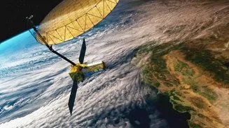
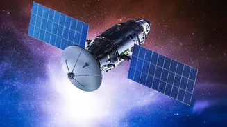
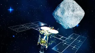
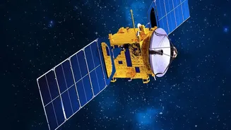
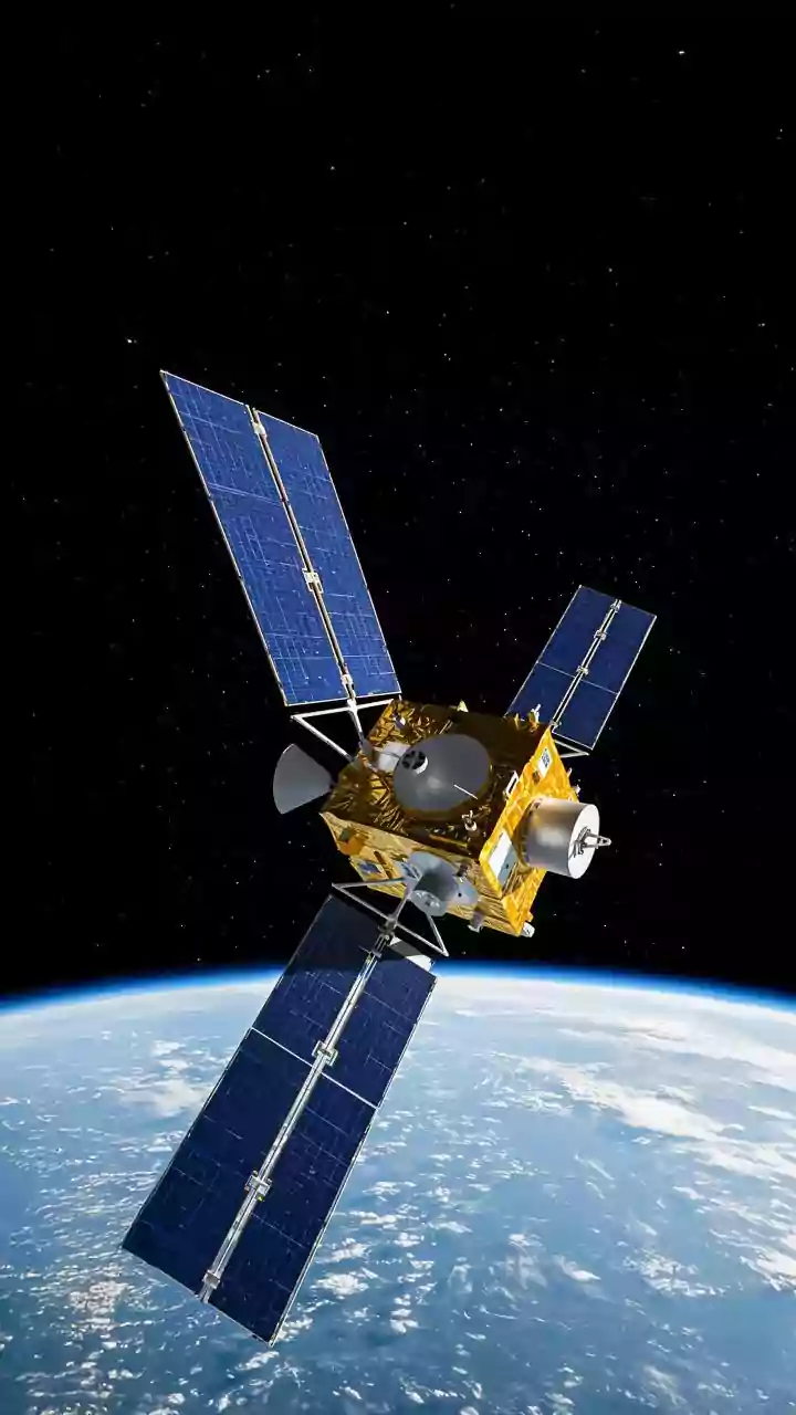
The game-changer has been the deployment of advanced weather satellites. Meteorologists primarily rely on two types: geostationary and polar-orbiting. Geostationary satellites, like India's INSAT series, are positioned high above the Equator (about 35,800 km) and orbit at the same speed as the Earth's rotation. This allows them to hover over the same spot, providing a constant stream of images and data for a specific region, which is crucial for 'nowcasting'—predicting weather in the immediate future. Polar-orbiting satellites fly much lower (around 850 km) and circle the globe from pole to pole, providing high-resolution snapshots of the entire planet over the course of a day. Together, they create a comprehensive, multi-layered view of the Earth's atmosphere.
Seeing Through the Clouds with Microwaves
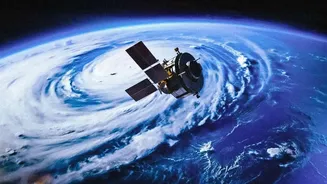
What truly sets modern satellites apart is their ability to see what the eye cannot. While older satellites primarily used visible and infrared imagers to track cloud tops, the latest generation is equipped with powerful microwave sounders. Instruments like the Advanced Technology Microwave Sounder (ATMS) can peer through cloud cover to measure the temperature, humidity, and water content within the atmosphere itself. This is a fundamental leap forward. Instead of just inferring the potential for rain by looking at cloud formations, forecasters can now directly measure the ingredients of a storm as it builds. This gives them crucial information about a storm's internal structure and its potential intensity.
From Data Points to Precise Forecasts
Gathering this data is only half the battle. The real magic happens when this torrent of satellite information is fed into sophisticated numerical weather prediction (NWP) models. These supercomputer-driven models use the laws of physics to simulate the atmosphere's behaviour. By continuously assimilating real-time satellite data with ground-based radar observations, the models can create an increasingly accurate and high-resolution picture of developing weather. The combination is key: satellites provide the broad view and internal storm data, while radar offers detailed tracking of precipitation once it starts to fall. This fusion allows for what is known as 'nowcasting', which can predict storm movements on a very short timescale, sometimes just minutes to hours ahead.
The Impact on Urban Life
For city dwellers, this heightened precision translates into tangible benefits. Instead of a generic '30% chance of rain' for an entire city, forecasts can now point to the likelihood of heavy showers in specific neighbourhoods within a particular time window. This allows for more effective early warning systems for flash floods, giving emergency responders and residents critical time to prepare. It helps city planners optimise drainage systems and water management. And on a personal level, it means having a much more reliable answer to the daily question of whether you need to carry an umbrella for your evening commute. This technology, from ISRO's INSAT-3DS launched in 2024 to NASA's GPM mission, is making urban life safer and more predictable in the face of increasingly extreme weather.