



The Big Picture for Agriculture
A ground survey can tell a farmer about a specific patch of land, but it can't provide a real-time health report for an entire state's worth of crops. This is where satellites excel. By measuring light that is invisible to the human eye, such as near-infrared,
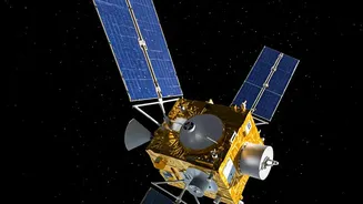
satellites can assess the health of vegetation across vast areas. This data helps create detailed maps that show which fields are thriving and which are stressed by drought, pests, or disease. Farmers and agricultural organisations can use this information for 'precision agriculture', applying water and fertiliser only where needed, which saves resources and boosts yields. It’s like giving a farmer a superpower to spot problems across hundreds of acres instantly, long before they would be noticeable on foot.
Exposing Secret and Illegal Activities
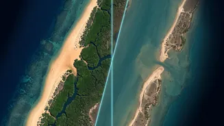
Many destructive activities happen in remote areas, far from public view. Illegal mining and unregulated logging, for example, often occur deep within forests. Ground surveys in these vast, often dangerous regions are impractical. Satellites, however, can systematically scan these areas. By comparing images over time, analysts can detect the tell-tale signs of illegal operations, such as new roads cut into a jungle or changes in vegetation that signal the start of a mining operation. This capability provides authorities with crucial evidence to combat environmental crime, protect natural resources, and hold perpetrators accountable in ways that were previously impossible.
A Crucial Tool in Disaster Response
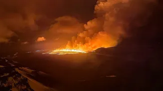
When a natural disaster like a flood, earthquake, or wildfire strikes, the first challenge for responders is understanding the scale of the damage. Ground access is often cut off, making it impossible to get a clear picture. Earth-observation satellites provide an immediate, bird's-eye view of the affected zone. Emergency teams can use this imagery to map the extent of flooding, identify which buildings and roads have been destroyed, and pinpoint areas where people might be trapped. This rapid damage assessment is critical for planning rescue operations and delivering aid to the places that need it most, saving precious time and lives.
Monitoring Slow-Moving Changes
Some of the most profound changes to our planet happen too slowly to be noticed day-to-day. Glaciers melting, forests gradually degrading, or land slowly subsiding in urban areas are all examples of incremental shifts. While a ground survey might measure a single point, satellites provide a continuous, long-term record over wide areas. Decades of archived satellite imagery allow scientists to track these trends with incredible precision, providing undeniable evidence of climate change impacts and helping urban planners identify risks like land subsidence before they become catastrophic. This long-term, wide-area perspective is something that ground surveys, by their very nature, cannot replicate.