
The Sun's Titanic Eruptions
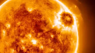
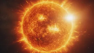
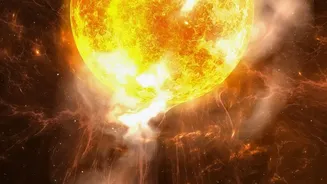
A coronal mass ejection, or CME, is one of the most dramatic events in our solar system. It's an enormous explosion in the Sun's outer atmosphere, the corona, that blasts billions of tons of solar material into space at incredible speeds, sometimes reaching
millions of kilometres per hour. While often associated with brilliant solar flares, CMEs are distinct events. They are essentially massive clouds of magnetised plasma traveling through the solar system. If Earth happens to be in the path of one of these clouds, the consequences can be significant, ranging from beautiful auroras to widespread disruptions of power grids, satellite communications, and GPS systems.
A Fleet of Solar Sentinels
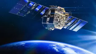
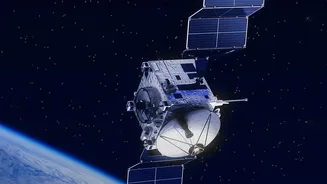
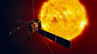
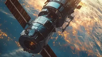
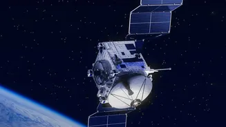
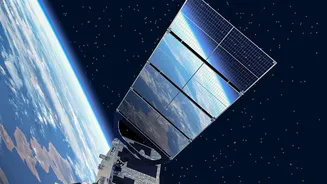
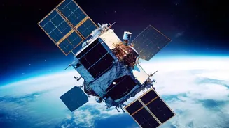
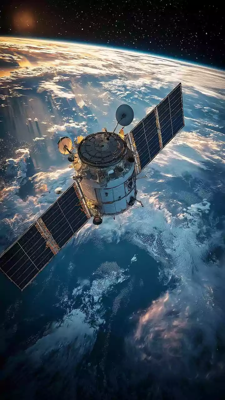
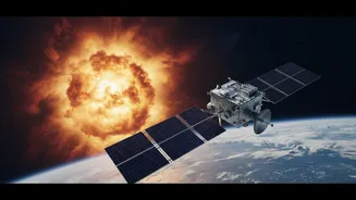
To stand watch against these solar storms, scientists rely on a dedicated fleet of robotic observers. Spacecraft like the venerable Solar and Heliospheric Observatory (SOHO), a joint NASA/ESA mission, have been providing data for decades. They have been joined by a host of other missions, including the STEREO spacecraft, which provide a crucial three-dimensional view of CMEs as they leave the Sun. More recent additions like NOAA's SOLAR-1 satellite, parked a million miles from Earth, act as an advanced warning system. These satellites use specialised instruments to see what our eyes cannot, giving scientists the raw data needed to understand and track these powerful events.
Seeing the Unseen with Coronagraphs
The key to spotting a CME as it leaves the Sun is an instrument called a coronagraph. It works by creating an artificial eclipse, blocking the blindingly bright face of the Sun so that the much fainter corona becomes visible. Satellites like SOHO and SOLAR-1 carry coronagraphs that allow forecasters to see a CME ballooning away from the Sun. From these images, scientists can determine the CME's size, estimate its speed, and get an initial idea of its direction. By combining images from multiple spacecraft, such as the two STEREO satellites, they can build a more accurate 3D picture of the eruption, which is crucial for determining if it's headed towards Earth.
From Observation to Prediction
Observing a CME is just the first step. To predict its impact, scientists feed this observational data into complex computer simulations. The primary model used by agencies like NOAA's Space Weather Prediction Center is called the WSA-Enlil model. This two-part model first uses data from ground-based telescopes to map the ambient solar wind. Then, it takes the CME parameters measured by satellites—its speed, direction, and size—and simulates its journey through the solar system. The simulation, often visualized as a swirling pinwheel, shows the CME cloud propagating outwards and predicts if, and when, it will arrive at Earth.
The Constant Loop of Refinement
This is where the "refinement" truly happens. A forecast is made, and then scientists wait to see what actually happens. Spacecraft like the DSCOVR satellite, positioned between the Sun and Earth, act as a final checkpoint. It measures the solar wind and magnetic field conditions in real-time, giving a 15- to 60-minute warning of a CME's arrival. Scientists compare the actual arrival time, speed, and magnetic field strength of the CME with the Enlil model's prediction. If there's a discrepancy—and there often is—they can tweak the model's physics and assumptions. This continuous feedback loop, comparing prediction to reality, is how the models improve over time, becoming more accurate with each solar storm.
The Future of Space Weather Forecasting
The next generation of missions and methods promises even better forecasts. The PUNCH mission, launched in 2025, uses a quartet of small satellites to continuously track CMEs through the inner solar system, providing more data to feed into the models. In a recent test, this new data improved arrival time accuracy tenfold. Furthermore, new programs like NOAA's Space Weather Next are planning more satellites to ensure there are no gaps in observation. Scientists are also increasingly using artificial intelligence and machine learning to analyze the vast amounts of data from these satellites, helping to spot patterns and improve predictions faster than ever before.