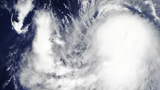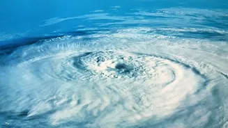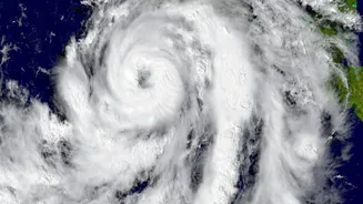




For a nation with a vast coastline, cyclones are a fact of life. But the way we talk about them is changing. Forecasters are moving beyond simply counting storms, offering a smarter way to understand risk without pretending to have all the answers.
Why the Annual Count Is Not Enough
For
years, the success or failure of a cyclone season was often framed by a single metric: the total number of storms. A season with fewer cyclones was considered mild, while one with many was deemed severe. However, this simple tally can be dangerously misleading. A year with only a few cyclones can be far more catastrophic if those storms are exceptionally powerful or make landfall in densely populated areas. Recent events, like the back-to-back cyclones Arnab and Murasu that struck the Andhra Pradesh coast in late October and early November 2026, underscore this point. Focusing on the total number overlooks the critical details that truly define a cyclone's threat: its intensity, the speed of its development, and the specific dangers it carries. Climate change is also altering the equation, with studies indicating a trend towards more intense storms, even if the overall frequency doesn't dramatically increase. This has pushed forecasters to adopt a more sophisticated language of risk.
The New Vocabulary of Cyclone Threats
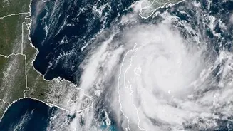
Modern weather reporting now emphasizes a richer set of details that paint a more complete picture of a storm's potential impact. One of the most critical factors is 'Rapid Intensification' (RI), a phenomenon where a cyclone's wind speeds increase dramatically—by 55 km/h or more—in just 24 hours. This was a key feature of Cyclone Arnab, which strengthened from a cyclonic storm to a very severe cyclonic storm as it approached the coast. Forecasters also provide specific guidance on associated hazards. Instead of just a general warning, bulletins from the India Meteorological Department (IMD) now detail expected storm surge heights, often specifying which districts are most vulnerable to inundation. They also provide colour-coded alerts for expected rainfall intensity—heavy, very heavy, or extremely heavy—allowing local authorities to prepare for floods and landslides. This shift represents a move toward 'impact-based forecasting', which focuses not just on what the weather will be, but what it will do.
Embracing the Cone of Uncertainty
Perhaps the most significant evolution in weather communication is the frank acknowledgement of uncertainty. In the past, a single projected track line on a map could give a false sense of precision, leading those outside the line to feel a false sense of security. Today, the IMD and other global agencies use a 'cone of uncertainty'. This cone represents the probable track of the cyclone's center, and it widens over time to reflect that forecasts are less certain the further into the future they go. This probabilistic approach is a core part of modern forecasting. Instead of a single outcome, powerful computer models run hundreds of simulations to generate a range of possibilities. Communicating this uncertainty is crucial. It helps disaster managers allocate resources more effectively across a wider potential impact zone and encourages the public to understand that a cyclone's path is not set in stone. The goal is to prevent complacency while avoiding unnecessary panic, creating a more resilient and informed public.
How to Read a Modern Weather Report
With this new depth of information, understanding a cyclone warning has also evolved. When you see a forecast, look beyond the storm's category. Pay attention to the predicted wind speeds, but also look for specifics on rainfall and storm surge. Understand the IMD's fournd stage warning system: a Prest Cyclone Watch (72 hours), a Cyclone Alert (48 hours, yellow), a Cyclone Warning (24 hours, orange), and a Post Landfall Outlook (12 hours, red). Each stage provides progressively more detailed information, allowing for staggered and appropriate preparations. When you see the cone of uncertainty, remember that devastating impacts can occur well outside the storm's center. The cone only tracks the likely path of the eye; damaging winds and rain can extend hundreds of kilometers beyond it. By understanding these nuances, citizens can move from being passive recipients of warnings to active participants in their own safety.