




New Delhi: The devastating flash floods that struck Nepal’s border region last week may not have come entirely without warning. A rapid assessment by an
international team of scientists has found ‘pre-event indications’ of the glacier collapse that triggered the disaster, raising fresh questions over whether better monitoring and early-warning systems could have saved lives.
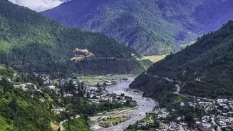
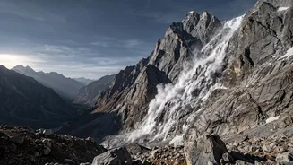
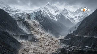
The disaster struck on August 26 near the Nepal-Tibet border after a massive collapse of ice and rock sent a torrent of water, debris and boulders through the mountain valleys. More than 1,000 people have now been reported dead across Nepal and Tibet, while thousands remain missing.
A HiRISK rapid hazard assessment, prepared by scientists from the Asian Mountain Academic Alliance, the Stimson Center and China’s Institute of Mountain Hazards and Environment, examined satellite imagery from before the collapse.
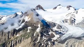
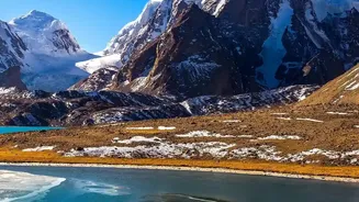
The researchers found changes in the glacier and surrounding terrain that suggested the system was becoming unstable. Satellite images showed changes on the glacier’s surface, accelerating movement of water within the glacier and a crack spreading into the surrounding bedrock.
Satellite observations from August 24 also showed that meltwater had turned visibly brown, another indication that conditions in the area were changing rapidly.
Could an early warning have saved lives?
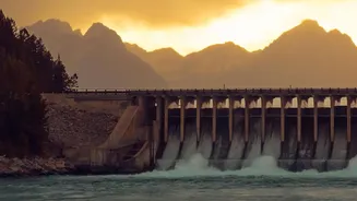
The findings have raised particular concerns over the hundreds of workers trapped at hydropower projects in the affected region.
Geologist Jakob Steiner, who has advised Nepal on Himalayan disaster risks, said early-warning systems for construction workers were ‘very weak’. The report suggested that further downstream, warning times of 10 minutes or more could potentially have made a significant difference if comprehensive alert systems had been in place.
The problem, however, is not simply the absence of technology. The Himalayas contain thousands of glaciers and unstable mountain slopes spread across extremely difficult terrain. Scientists say monitoring every potentially dangerous site is currently impractical.
Researchers have suggested using satellite data and AI-assisted monitoring to identify subtle changes across large areas and flag locations that require closer inspection.
A separate analysis published by Nature found that Sentinel-1 satellite data showed the glacier-rock system had been moving downhill and that movement appeared to accelerate before the collapse. The last satellite observation examined in that study was taken just seven days before the disaster.
The Nepal disaster has therefore exposed a crucial gap in Himalayan disaster preparedness. Scientists may increasingly be able to detect signs of instability, but converting those signals into timely warnings for people on the ground remains a major challenge. As glaciers retreat and mountain slopes become increasingly unstable, such warning systems could become critical for Nepal, India, China and communities living across the wider Hindu Kush Himalaya.