
What's Happening?
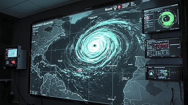
Hurricane Erin is currently moving in a west/northwest direction across the Atlantic Ocean. Meteorologist Shane Hinton from CBS News Miami is actively tracking the storm's progress. The hurricane's trajectory is being closely monitored as it continues its path, with updates being provided to keep the public informed about potential impacts and necessary precautions.
Why It's Important?
The movement of Hurricane Erin is significant as it poses potential threats to coastal regions depending on its path and intensity. Hurricanes can lead to severe weather conditions, including heavy rainfall, strong winds, and flooding, which can impact communities, infrastructure, and local economies. Monitoring such storms is crucial for preparedness and response efforts, ensuring that residents and authorities can take appropriate measures to mitigate risks.
What's Next?
As Hurricane Erin progresses, meteorologists will continue to provide updates on its path and intensity. Coastal communities may need to prepare for possible impacts, including evacuation plans and securing property. Authorities will likely issue advisories and warnings as more information becomes available, emphasizing the importance of staying informed through reliable sources.