
What's Happening?
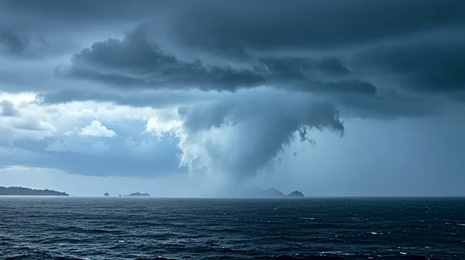
Hurricane Erin has rapidly intensified into a Category 4 storm as it moves over the northeastern Caribbean. The National Hurricane Center reports sustained winds near 155 mph, with the storm's strength doubling in just 24 hours. Erin is currently located about 150 miles northeast of Anguilla and is expected to continue strengthening, potentially reaching Category 5 status. The storm is passing north of the Leeward Islands, the Virgin Islands, and Puerto Rico, with tropical alerts issued for these areas. Although a direct landfall is unlikely, rough seas, gusty winds, and heavy rain are anticipated, which could lead to flash flooding and mudslides.
Why It's Important?
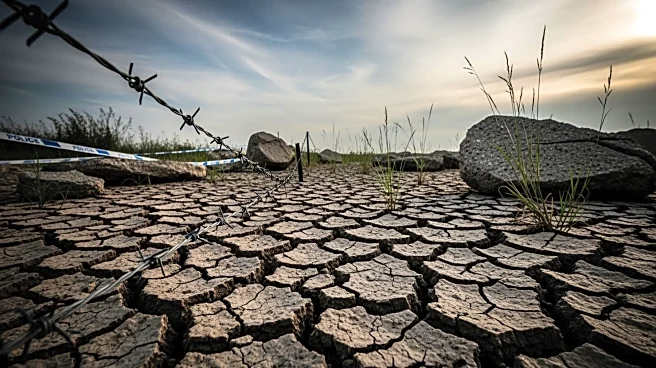
The intensification of Hurricane Erin highlights the increasing frequency of powerful storms, driven by warmer ocean temperatures. This poses significant risks to the Caribbean islands, which may experience severe weather conditions despite the storm not making landfall. The closure of ports in the US Virgin Islands and Puerto Rico underscores the potential disruption to local economies and infrastructure. The broader impact includes heightened concerns about climate change and its role in fueling such extreme weather events, which could lead to more frequent and intense hurricanes in the future.
What's Next?
As Hurricane Erin continues its trajectory, it is forecasted to move north over the western Atlantic, potentially affecting the United States and Bermuda with rough surf and dangerous rip currents. The situation remains fluid, with possible changes in the storm's path that could alter its impact. Authorities and residents in affected areas are advised to remain vigilant and prepared for any shifts in the storm's behavior. The Climate Prediction Center anticipates further tropical system developments in the Atlantic, suggesting a busy hurricane season ahead.