
What's Happening?
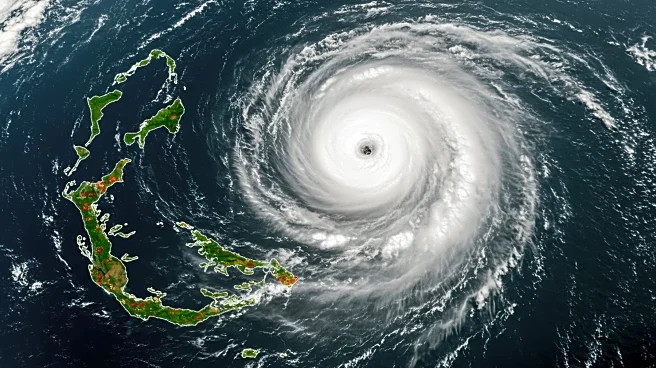
Tropical Storm Fernand has formed southeast of Bermuda, with current maximum sustained winds of 40 mph. The storm is expected to strengthen as it moves northward, but it is projected to remain well east of the U.S. coastline. The National Hurricane Center (NHC) forecasts that Fernand may approach hurricane strength but will not pose a direct threat to the U.S. mainland. However, Bermuda is advised to prepare for dangerous surf and gale conditions as the storm passes. The NHC also notes that the storm is likely to weaken after Monday due to cooler waters and increased wind shear, potentially becoming post-tropical within a few days.
Why It's Important?
While Tropical Storm Fernand is not expected to impact the U.S. directly, it serves as a reminder of the ongoing Atlantic hurricane season, which peaks in September. The storm's development highlights the importance of monitoring weather systems that can affect coastal regions. The presence of Fernand, along with remnants of Hurricane Erin, is expected to prolong rip current threats along the U.S. East Coast, affecting beachgoers and maritime activities. The situation underscores the need for continued vigilance and preparedness during the hurricane season.
What's Next?
Residents and visitors in Bermuda are advised to stay informed about the storm's progress and potential impacts. The NHC will continue to monitor Fernand's trajectory and strength, providing updates as necessary. Meanwhile, another tropical disturbance, Invest 99L, is being watched for potential development in the Atlantic, although it currently faces unfavorable conditions.