


What is the story about?
What's Happening?
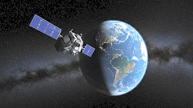
On August 14, 1959, NASA's Explorer 6 satellite transmitted the first-ever photograph of Earth from space. Launched on August 7, 1959, from Cape Canaveral, Florida, the satellite was designed to study Earth's magnetic fields, radiation, cosmic rays, geomagnetism, and micrometeorites. Despite a malfunction that left it operating at 63% power, Explorer 6 successfully orbited Earth and conducted comprehensive surveys of the Van Allen radiation belts and the geomagnetic field. The image, although blurry, depicted the Pacific Ocean and marked a significant milestone in space exploration. Explorer 6 continued to function until October 6, 1959, when its power failed.
Why It's Important?
The transmission of the first satellite image of Earth by Explorer 6 was a groundbreaking achievement in space exploration, setting the stage for future Earth imaging missions. This development not only enhanced scientific understanding of Earth's environment but also demonstrated the potential of satellite technology in gathering data from space. The success of Explorer 6 laid the groundwork for subsequent missions that have provided critical insights into Earth's atmosphere, weather patterns, and environmental changes. This milestone also underscored the importance of space technology in advancing scientific research and exploration.