
What's Happening?
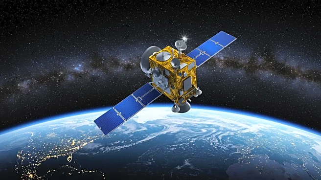
A new development in Earth observation technology has been introduced with the advancement of remote sensing foundation models (RSFMs). These models utilize optical, infrared, and radar signals from various satellite platforms to provide comprehensive Earth observation with diverse temporal, spatial, and spectral resolutions. The complexity and heterogeneity of these data have historically posed challenges in processing and integration. RSFMs have been developed to extract generic features from extensive remote sensing images, allowing adaptation to various downstream tasks through fine-tuning. Despite their potential, RSFMs have faced limitations in generalizability across Earth observation tasks, including inadequate support for multi-modal and temporal inputs, limited few-shot capabilities, and insufficient use of semantic information. The introduction of SkySense++, a new RSFM, aims to enhance generalizability across Earth observation tasks by leveraging pretraining on vast multi-modal remote sensing images.
Why It's Important?
The advancement of RSFMs, particularly with the introduction of SkySense++, holds significant implications for Earth observation applications. The ability of these models to handle unseen tasks with minimal labeled data without fine-tuning is particularly beneficial for time-sensitive applications. This development could lead to more accurate and efficient monitoring of environmental changes, disaster response, and resource management. The integration of large language models and multi-type geoscience knowledge, such as physical models and geographical principles, could further enhance the accuracy and depth of analytical and interpretative capabilities. This progress in remote sensing technology could provide critical insights for policymakers, researchers, and industries involved in environmental conservation and management.
What's Next?
Future work on RSFMs, including SkySense++, may focus on scaling the model further and exploring the integration of large language models to enhance performance across a broader range of tasks. Researchers plan to couple the model with multi-type geoscience knowledge to improve its analytical and interpretative power. This could lead to more sophisticated Earth observation capabilities, potentially transforming how data is utilized in environmental monitoring and decision-making processes.
Beyond the Headlines
The development of advanced RSFMs like SkySense++ could have broader implications beyond immediate Earth observation tasks. The integration of geoscience knowledge and large language models may pave the way for more interdisciplinary approaches in environmental science, combining data-driven insights with traditional scientific principles. This could foster new collaborations between technology developers, environmental scientists, and policymakers, leading to more holistic and informed strategies for addressing global environmental challenges.