


What is the story about?
What's Happening?
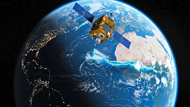
A magnitude 8.8 earthquake struck off the coast of Russia's Kamchatka Peninsula, triggering a tsunami that affected several regions, including the U.S. West Coast, Hawaii, and Japan. The Surface Water and Ocean Topography (SWOT) satellite, a collaboration between NASA and the French space agency CNES, captured detailed data on the tsunami's progression. The tsunami waves reached up to 13 feet in Kamchatka, while other areas experienced smaller waves. NOAA's Center for Tsunami Research utilized SWOT data to improve its forecast model, enhancing the accuracy of tsunami alerts issued to coastal communities.
Why It's Important?
The integration of SWOT satellite data into NOAA's tsunami forecasting model represents a significant advancement in disaster preparedness. Accurate forecasts are crucial for timely evacuations and minimizing damage in affected areas. The ability to predict the behavior of tsunamis more precisely can save lives and reduce economic losses. This development underscores the importance of international collaboration in scientific research and the application of advanced technology in natural disaster management.
What's Next?
NOAA and other agencies may continue to refine their models using SWOT data, potentially leading to more reliable forecasts in the future. Coastal communities will benefit from improved warning systems, allowing for better preparation and response to tsunami threats. Further research and collaboration between international scientific bodies could enhance global disaster readiness.