
What's Happening?
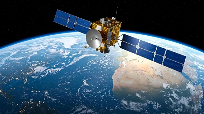
A magnitude 8.8 earthquake struck off the coast of Russia's Kamchatka Peninsula, triggering a tsunami that affected various regions, including the U.S. West Coast, Hawaii, and Japan. The Surface Water and Ocean Topography (SWOT) satellite, a collaboration between NASA and the French space agency CNES, captured detailed data on the tsunami's progression. This data is being used by NOAA's Center for Tsunami Research to improve their forecast models, which are crucial for issuing accurate alerts to coastal communities. The tsunami, although less powerful than anticipated, still produced significant waves up to 13 feet high near the epicenter.
Why It's Important?
The ability to accurately forecast tsunamis is vital for the safety of coastal communities. The data provided by the SWOT satellite allows scientists to better understand the dynamics of tsunami waves, potentially leading to more precise predictions and timely warnings. This advancement in forecasting technology could significantly reduce the risk to human life and property in affected areas. The collaboration between NASA and NOAA exemplifies the importance of international partnerships in addressing global natural disasters.
What's Next?
The integration of SWOT data into NOAA's tsunami forecast models is expected to continue, potentially leading to further improvements in prediction accuracy. As scientists refine these models, coastal communities may benefit from enhanced early warning systems, allowing for more effective evacuation plans and disaster preparedness strategies. Continued research and development in satellite technology will likely play a key role in advancing tsunami forecasting capabilities.