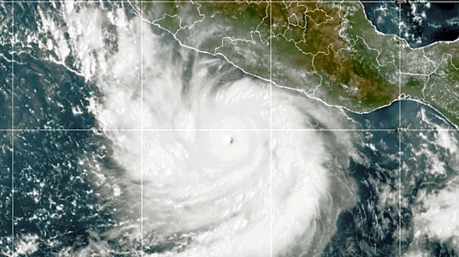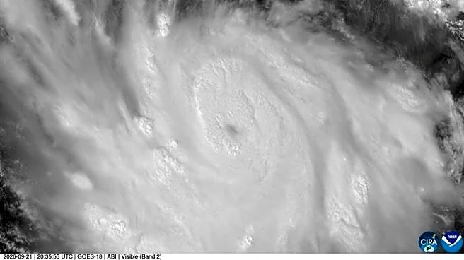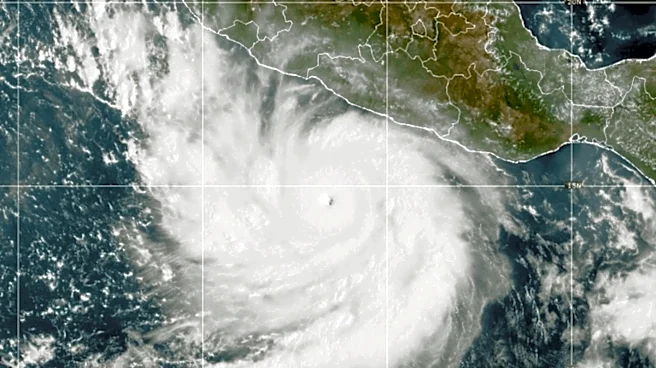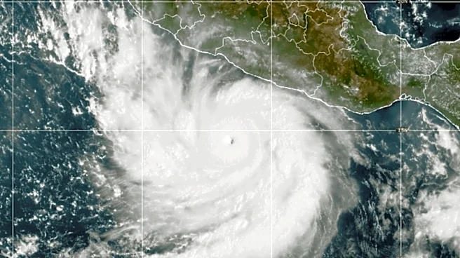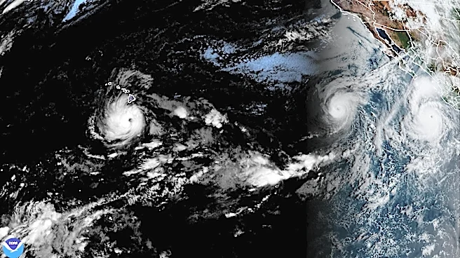

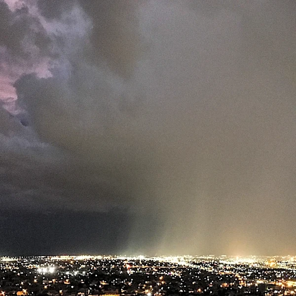



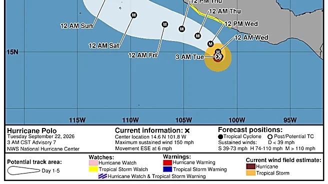
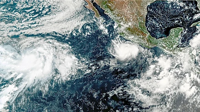

Hurricane Polo, on a potentially catastrophic course toward the Mexican state of Baja California Sur, has again attained Category 5 strength, boasting sustained winds of 180 mph.
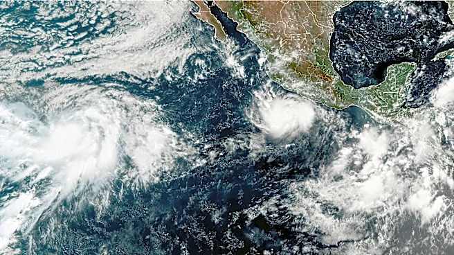
This has prompted the National Hurricane Center to turn its attention from the mainland to southern Baja, including the Los Cabos region, in terms of potential warnings and watches. (Baja California is shown north of Polo in the accompanying image.)

"Interests in Baja California Sur should closely monitor the progress of this system," the NHC cautioned in its Friday morning update. "Watches could be required for a portion of the area as early as Saturday."
Although Polo is not expected to score a direct hit on Cabo San Lucas and the broader Los Cabos region, hurricane-force
winds extend 40 miles outward, and tropical-storm-force winds extend 115 miles from Polo’s center.

Hurricane Polo is currently among the strongest storms on record. According to the Saffir-Simpson scale, Category 5 is at the highest "catastrophic" level, with winds upward of 157 mph.
The National Hurricane Center cautioned: "Polo is expected to produce rainfall totals of 4 to 8 inches with maximum amounts of 10 inches across portions of Baja California Sur. This rainfall may produce life-threatening flooding and mudslides, especially in areas of steep terrain."
If there’s a bright side, Polo is expected to weaken considerably before making landfall Monday in the Magdalena Bay region of Baja California Sur. Magdalena Bay is about 220 miles north of Cabo San Lucas.
However, Polo is expected to remain at hurricane strength as it crosses the peninsula and enters the Sea of Cortez north of the BCS capital of La Paz.
This article originally appeared on For The Win: Hurricane Polo packing 'catastrophic' winds as it barrels toward Baja