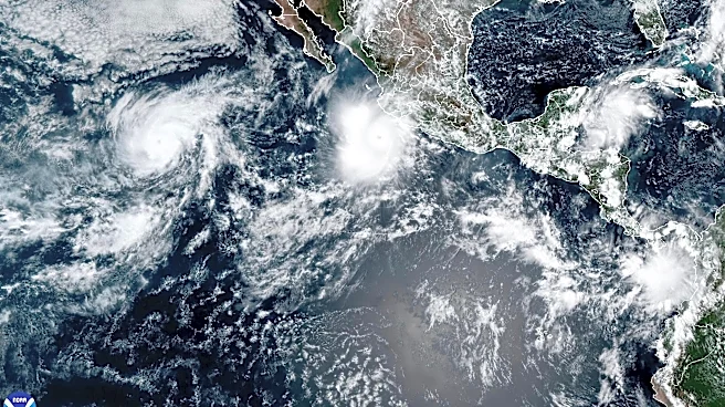






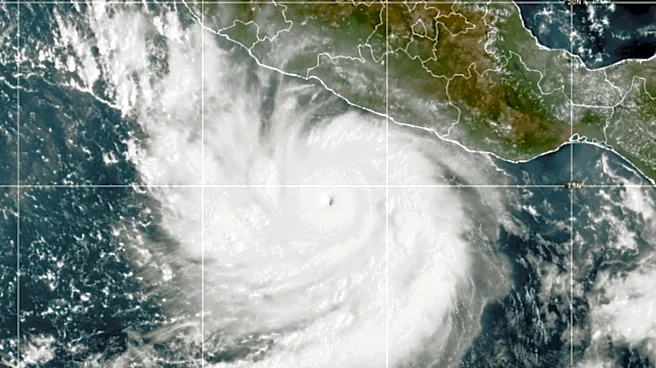
Hurricane Polo was 365 miles south-southwest of Cabo San Lucas on Saturday morning. The Category 4 storm boasted 155-mph winds and was advancing west-northwest at 9 mph.
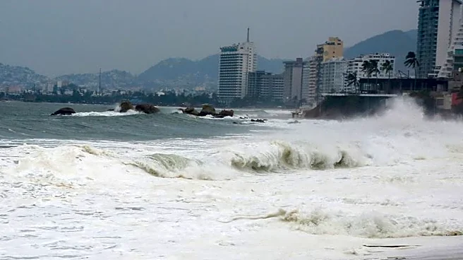
Although large waves are arriving in Los Cabos and elsewhere along the Baja California Peninsula, this is a relatively calm period before the situation throughout the Mexican state of Baja California Sur turns stormy and chaotic.
But Polo, expected to make landfall more than 200 miles north of Cabo San Lucas on Monday, has already set a surreal scene in the Los Cabos region.

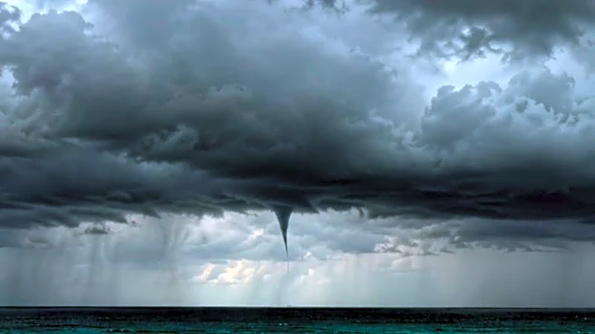
The accompanying Instagram post, with footage captured Friday, shows heavy cloud cover, rainfall, and a spinning waterspout beyond tractor drivers trying to shore-up a beach.
The Posta BCS imagery included a haunting
waterspout image, possibly enhanced, that appears to portend what's coming.
The media outlet stated: "Although the center of Polo remains over the Pacific, images released Friday show its cloud bands moving toward Los Cabos, where waterspouts have also been reported off the coast."
Posta BCS added: "Here is an important reminder: a cyclone does not need to make landfall to create adverse conditions in areas far from its center.
"Given the evolution of Polo, the recommendation is to stay tuned to Civil Protection alerts and avoid going near the sea to watch these types of phenomena."

On Saturday morning, a live webcam overlooking Medano Beach in Cabo San Lucas showed mostly sunny skies. How long that will last remains unclear.
This article originally appeared on For The Win: Hurricane Polo, though still distant, sets surreal scene off Los Cabos