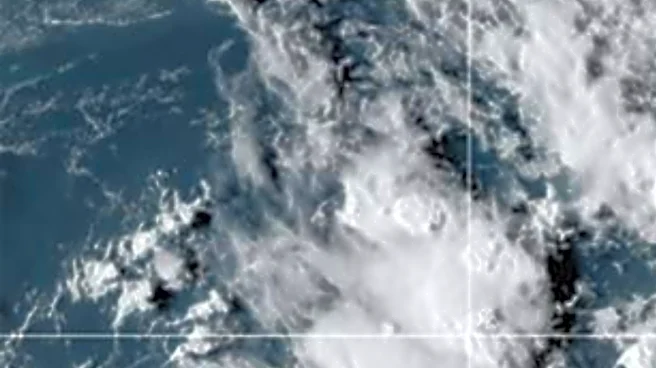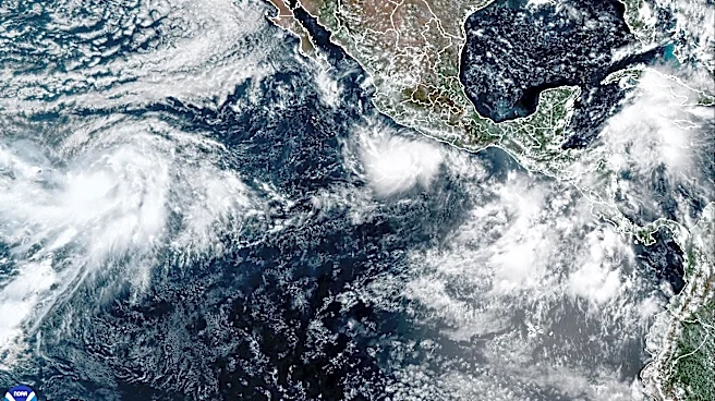



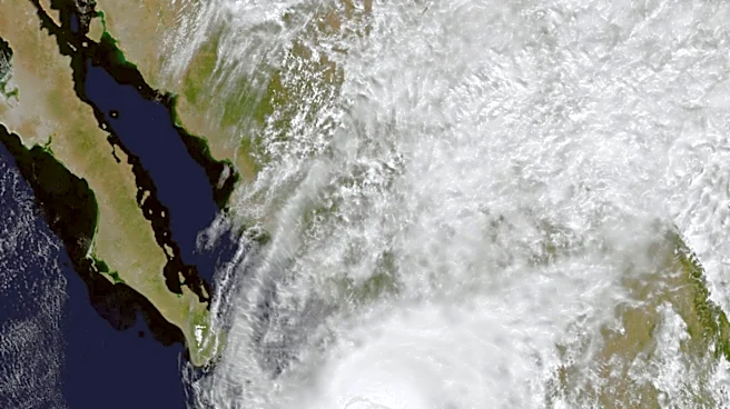
Hurricane Polo formed Monday in the Eastern Pacific and is rapidly intensifying on a path that could create hazardous conditions in western Mexico and Baja California Sur.
Polo is expected to become a Category 3 storm, with winds of 111 mph or greater, by Tuesday morning. Polo could attain extremely dangerous Category 5 status in the coming days.

Late Monday morning, Polo was a Category 1 hurricane boasting 80-mph winds. The storm was located 270 miles south-southeast of Manzanillo and 190 miles south-southwest of Zihuatanejo.
While previous hurricanes this season have tracked largely on a northwesterly course, away from land, Polo is expected to skirt western Mexico and could track dangerously close to the Los Cabos region in Baja California Sur.
On Monday, according to the U.S. National Hurricane Center, Tropical Storm watches were in effect for parts of the mainland. But as Polo progresses, watches and warnings could be expanded and become more serious.

BCS Noticias in Baja California Sur reported Monday: "Although the cyclone remains far from Baja California Sur for now, its projected path shows a gradual shift toward the northwest, bringing it closer to the state as the week progresses.
"Given this scenario, meteorological authorities are continuously monitoring the storm's evolution and advise the public to stay informed through official updates."
This article originally appeared on For The Win: Hurricane Polo forms, could threaten Los Cabos as major storm