





Good day, err’body.
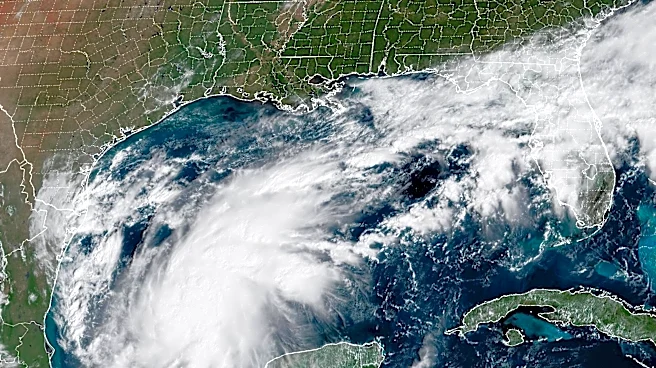
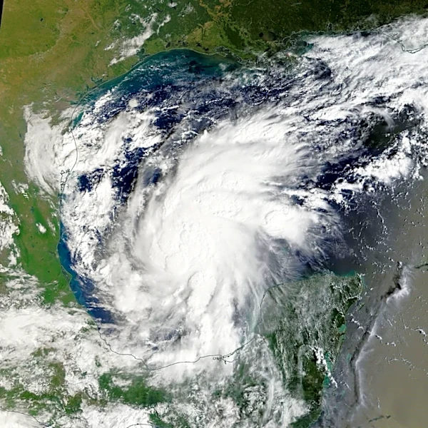
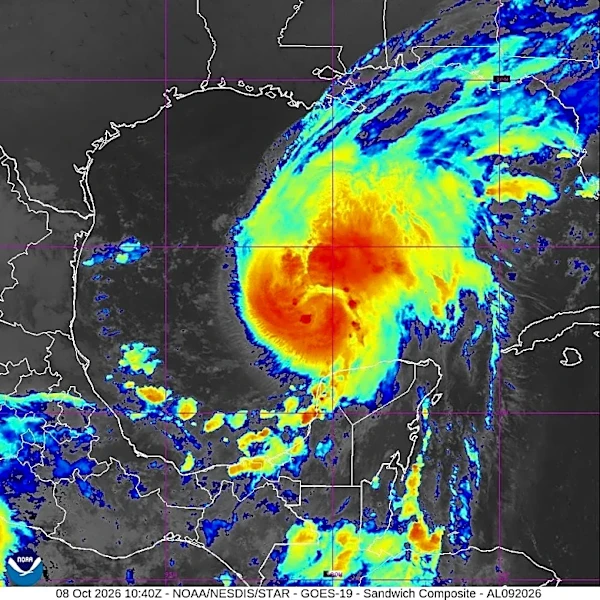
As of Thursday morning’s NHC advisory there has been no significant changes to the track of what is now Hurricane Isaias – an intensifying storm right. Upon approach and eventual landfall along the northern Gulf coast – near Mobile Bay or perhaps closer to the Pensacola/Perdido Key area in the Florida panhandle – increasing wind shear is forecast to weaken the storm prior to landfall but Isaias is still projected to remain a strong category 2 hurricane (96-110 MPH).
This is what
the Conference and the University of Alabama and Alabama Emergency Management still must consider: Although Isaias is forecast to weaken fairly rapidly and accelerate northward after crossing the coastline, folks still have to travel to get to the game early enough in the day while the storm is still hazardous and on the move very close to Tuscaloosa and vicinity. And a storm like this isn’t a simple point on a map. It’s a large area of circulation with multiple hazards within that will extend for miles. A weakening tropical cyclone is still capable of producing enough wind to knock down trees, powerlines and other structures and the wind field is forecast to expand which is typical as a storm begins to spin down. This is going to be a tough call.
Go ‘Dawgs!!!