
What's Happening?
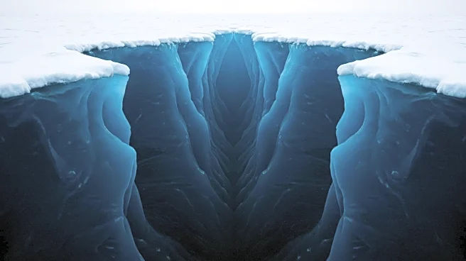
Researchers from the University of Barcelona and University College Cork have unveiled a new scientific atlas that maps 332 previously unmapped submarine canyons beneath Antarctica's ice. This discovery, published in Marine Geology, significantly alters the understanding of sea-level rise, ocean circulation, and the continent's geological history. The canyon system, identified using high-resolution bathymetric data from over 40 international expeditions, reveals complex underwater features that act as conduits for sediments, nutrients, and water masses between the continental shelf and the deep ocean. These canyons, some plunging over 4,000 meters deep, are crucial for understanding ice sheet dynamics and their influence on global climate systems.
Why It's Important?
The discovery of these submarine canyons is pivotal for climate science, as they play a crucial role in Antarctic water movement and mixing. These canyons channel dense, salty water into the Southern Ocean, driving global thermohaline circulation, which regulates temperatures and nutrient distribution across the planet's oceans. Additionally, warm water from deeper ocean layers can travel up these canyons, accelerating ice shelf melting from below, particularly in West Antarctica. This interaction is a key factor in ice shelf destabilization, impacting global sea-level rise predictions and coastal ecosystems worldwide.
What's Next?
The detailed mapping of these canyon systems will enhance climate models by incorporating submarine topography, allowing for more accurate predictions of ice loss and its contribution to sea-level rise. Researchers will continue to study the structural differences between East and West Antarctica to refine models predicting ice system responses to warming temperatures. This research could determine whether melting from inland glaciers reaches the ocean quickly or remains locked in place, affecting global sea-level rise and coastal city planning.