


The United Nations has now weighed in on the current El Niño, one of the world's most impactful weather phenomena.
"El Niño is firmly established and will intensify into a very strong event in the coming months, with big impacts on rainfall and temperature patterns and associated risks of floods, drought and extreme heat," according to a new update released Sept. 3 by the World Meteorological Organization, which is the United Nations' weather agency.
El Niño is a natural warming of Pacific Ocean sea water that brings about weather extremes around the world.
El Niño and La Niña are opposite phases of the El Niño–Southern Oscillation (ENSO), one of the most powerful naturally occurring climate patterns on Earth, the WMO said.
The U.N. weather agency
said its forecasts showed a near 100% likelihood that El Niño would persist through February 2027, fueled by exceptionally warm Pacific Ocean temperatures. This is the first time it has expressed such a degree of certainty, the WMO said.
"If this trajectory continues, it may be stronger than anything since our monitoring began. So literally off the charts," WMO secretary-general Celeste Saulo told a Geneva news conference on Sept. 3.
'Supersized' El Niño
"El Niño is being supersized before our eyes," said UN secretary-general António Guterres, in a news release. "The science leaves no room for doubt: the planet is in uncharted waters, and those waters are heating up."
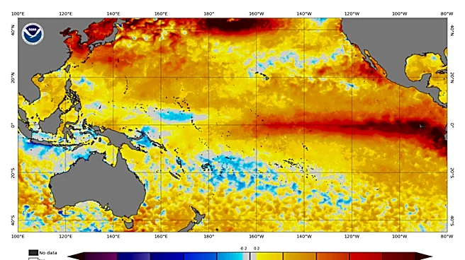
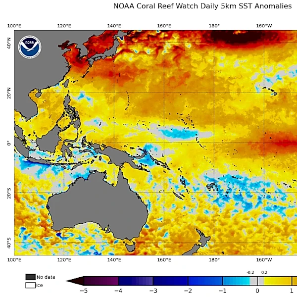
The WMO said that sea-surface temperatures across the central-eastern equatorial Pacific, the region at the heart of El Niño, are already well above average – one of the tell-tale signs of El Niño – and are continuing to rise.
"Sea surface temperatures are rising, temperatures keep climbing, and the world is in the danger zone of extreme weather," Guterres said.
Together, the surface and subsurface ocean conditions provide strong support for continued El Niño conditions and the potential for further strengthening during the coming months, the WMO update said.

Preparations underway
The WMO also said it was stepping up preparedness and early warning efforts in preparation to allow states to take early action, such as switching to drought-resistant crops in some places.
"This exceptional El Niño demands exceptional preparation and response," Saulo said in a statement. "Never before in the 50-year history of the World Meteorological Organization have we launched such a major mobilization with national meteorological and hydrological services who are on the frontline of delivering the forecasts and services to save lives and livelihoods," she said.
Warmest year on record?
One of the calling cards of El Niño is a boost in global temperatures, often to record levels — and this year's version is no exception:
El Niño is set to peak toward the end of this year, the WMO said in a statement. But its effects will continue into 2027 and are set to leave higher global temperatures next year in its wake, WMO officials said.
"Normally after an El Niño event we tend to see a pulse in the global temperatures - a temporary one," Wilfran Moufouma Okia, the WMO's chief of climate prediction services, told reporters, referring to 2024, which was the hottest year so far.
"2027 has the potential to be the warmest on record," he said.
Contributing: Reuters
Doyle Rice is a national correspondent for USA TODAY, with a focus on weather and climate.
This article originally appeared on USA TODAY: El Niño update warns of 'supersized' climate disruptor