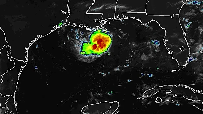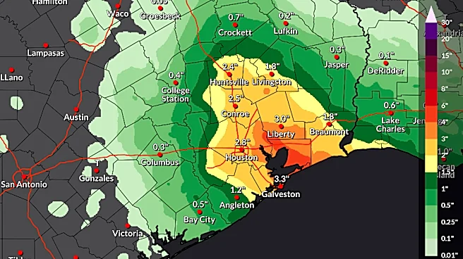






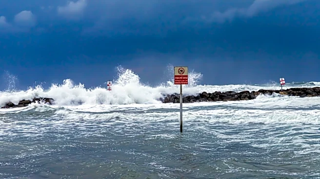
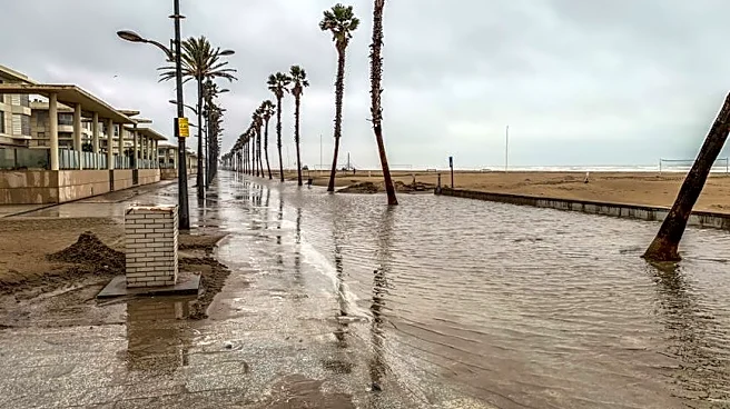
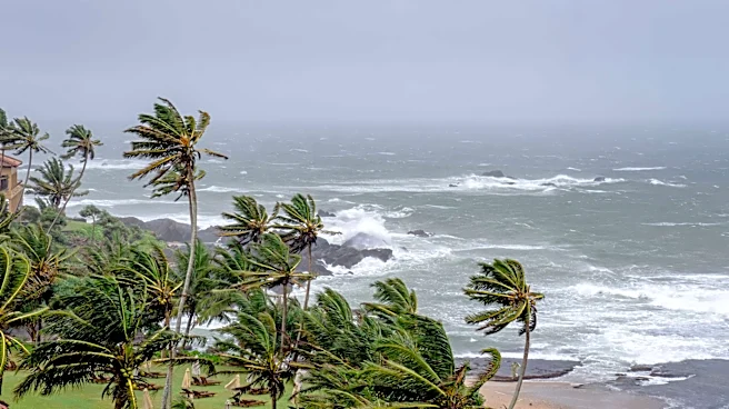
Tropical Storm Edouard is poised to significantly strengthen before it reaches the Texas coastline as it approaches hurricane strength before making landfall.
Forecasters with the National Hurricane Center said in an early morning advisory on Sept. 1 that the storm is located about 90 miles southeast of Port Arthur, Texas with maximum sustained winds around 40 mph with higher gusts.
The hurricane center said "significant strengthening" is forecast Sept. 1, with Edouard potentially approaching hurricane strength before it reaches the Gulf Coast. Because of the conditions, the National Weather Service has issued a hurricane watch from Texas to Louisiana.
However, once the center makes landfall, forecasters expect it to weaken rapidly as it moves
inland.
Here is the latest information, models, and maps on Tropical Storm Edouard as it heads towards the Texas coastline.

Texas activates emergency resources for Tropical Storm Edouard
Texas Gov. Greg Abbott activated the Texas State Emergency Operations Center (SOC) as Tropical Storm Edouard heads toward the coastal region near Houston and Galveston.
“It is essential that individuals prioritize their personal safety and stay away from rising water," Abbott said. "This is the first tropical storm Texas has faced this calendar year, so take this opportunity to gather supplies like food, water, and gas. Most importantly, follow guidance from local officials over the next 24 to 48 hours.”
At the Governor's direction, representatives from the 19 state agencies of the Texas Emergency Management Council report to the SOC for 24-hour operations and ensure their resources are ready to deploy as needed.

Tropical Storm Edouard safety tips
The Texas Division of Emergency Management advises those experiencing a hurricane or tropical storm to do the following to stay safe:
- Sign up for your community's warning system. The Emergency Alert System and National Oceanic and Atmospheric Administration provide emergency alerts.
- If local officials say to evacuate, do so immediately.
- Build an emergency supply kit. For more information on how to build a kit, visit: texasready.gov
- Determine how best to protect yourself from high winds and flooding.
- Keep important documents in a waterproof container. Create password-protected digital copies.
- Take refuge in a designated storm shelter or an interior room for high winds.
- Go to the highest level of the building if you are trapped by flooding. Do not climb into a closed attic as you may become trapped by rising flood water.
- Know the types of flood risks in your area.
- Do not walk, swim or drive through flood waters.
- Remember: "Turn around. Don't drown," as just six inches of fast-moving water can knock people down, and one foot of moving water can sweep away a vehicle.
Tropical Storm Edouard path tracker
This forecast track shows the most likely path of the center of the storm. It does not illustrate the full width of the storm or its impacts, and the center of the storm is likely to travel outside the cone up to 33% of the time.
Spaghetti models for Tropical Storm Edouard. See expected path
Special note about spaghetti models: Spaghetti model illustrations include an array of forecast tools and models, and not all are created equal. The Hurricane Center uses only the top four or five highest performing models to help make its forecasts.
Texas weather radar
Texas watches and warnings
Stay informed. Get weather alerts via text
Mateo Rosiles is the Texas Connect reporter for USA TODAY and its regional papers in Texas. Got a news tip for him? Email him at mrosiles@usatodayco.com.
This article originally appeared on USA TODAY: Tropical Storm Edouard nears Texas. See spaghetti models, path, maps