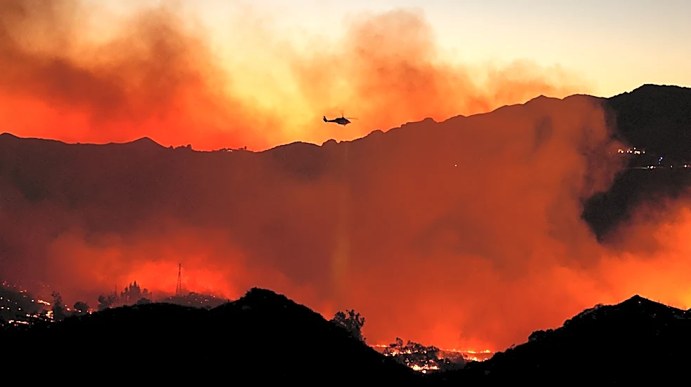


Over 100 structures, and potentially more, are threatened by a wildfire continuing to burn north of Malibu, according to officials. The blaze comes as swaths of Los Angeles County are under red flag warnings, and thousands of residents face power shutoffs due to elevated wildfire risk on Friday, Oct. 16.
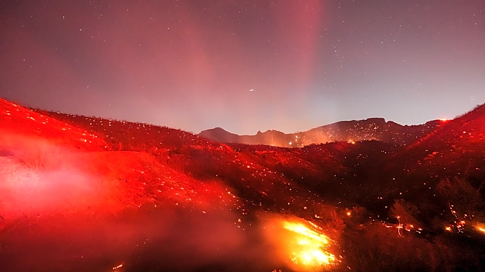
The Bryson Fire ignited late afternoon the day before in the Santa Monica Mountains. Firefighters arrived at the wind-driven blaze, which was burning rapidly in medium to heavy fuels, Los Angeles County Fire Department Chief Anthony Marrone said at a press conference Friday morning.
The fire is nearly 147 acres and 17% contained, according to a morning update from the Los Angeles County Fire Department. One firefighter suffered minor injuries
and was transported to a local hospital. Marrone declined to go into further details.
While no structure loss or damage has been reported, he said over a hundred structures in the general area are threatened. However, if winds kick up and authorities lose containment of the fire, a larger area could be impacted, Marrone said. A Friday incident update said over 7,000 structures are threatened.
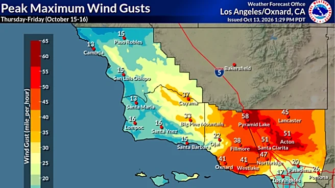
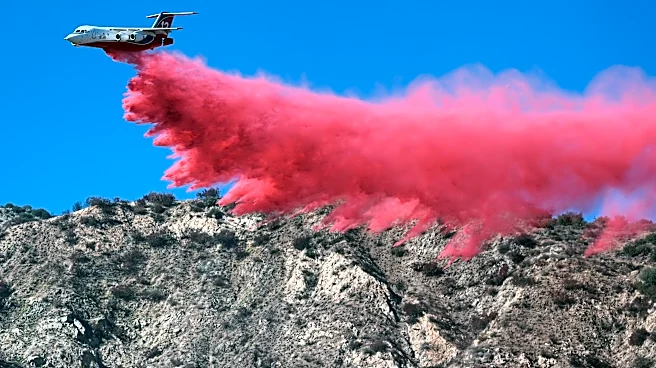
Firefighters and an aggressive air attack contained the blaze in the afternoon and overnight, according to an incident report. However, crews face wind gusts of 40 to 65 miles per hour as Santa Ana winds pummel the region through Saturday, Oct. 17.
Several hundred personnel have been assigned to the fire, prompting evacuation orders that extend south toward the Pacific Coast Highway.
The fire's cause is unknown.
See Bryson Fire evacuations map
Two zones are under evacuation orders as of Friday morning, including an area that’s generally past Mulholland Highway to the north, toward Encinal Canyon Road to the west, east toward Castro Peak, and north of the Trancas Canyon Park. Surrounding areas are under evacuation warnings, including a stretch along the Pacific Coast Highway, Paramount Ranch, and the Kaslow Natural Preserve.
See a map on Los Angeles County's website showing where evacuations are in place.
Here are the areas under evacuation warnings, according to Los Angeles County:
- LEO-U015
- SYC-U016-B
- WLV-C201
- LBO-U018
- CRN-U019
- MLK-U020
- MCR-U021-A
- VST-U046
- MAL-C113
- MAL-C114
See Bryson Fire road closures
Here are the roads closed due to the Bryson Fire, authorities said:
- Decker Road and Encinal Canyon Road
- Kanan Road and Mulholland Highway
- Mulholland Highway and Westlake Boulevard
Topanga Canyon Boulevard between Mulholland Highway and PCH is restricted to resident-only access until the red flag warnings expire.
Getty Villa closed Friday due to Bryson Fire
Los Angeles County Supervisor said that the Getty Villa is closed on Friday out of an abundance of caution
See fire map in California
SoCal faces red flag warnings, power shutoffs
The Malibu Coast is under a red flag warning through the evening of Oct. 17, according to the National Weather Service Los Angeles. The Santa Ana winds will bring critical fire weather conditions to much of southwest California through Saturday, the NWS Los Angeles said.
In Los Angeles County, nearly 35,000 Southern California Edison customers have had their power shut off because of heightened wildfire risk, according to an outage map. Southern California Edison is considering power shutoffs for tens of thousands more.
Paris Barraza is a reporter covering Los Angeles and Southern California for the USA TODAY Network. Reach her at pbarraza@usatodayco.com.
This article originally appeared on USA TODAY: Bryson Fire burns in Malibu area, Getty Villa closed. Friday update