


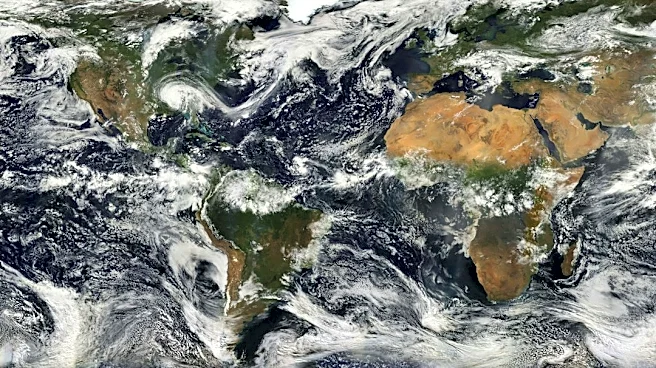
The surging El Niño continues to make news.
The current El Niño climate pattern has reached the top of the scale for intensity, according to a report released Nov. 12 from NOAA's Climate Prediction Center (CPC). The pattern is now considered to be "very strong" – the highest of the CPC's four El Niño intensity categories.
Only three other El Niños on record have attained this level: 1982-83, 1997-98 and 2015-16. Modern El Niño records started in 1950.
Chances for a historic event exceeding those previous El Niños are now about 60%, remaining at better than even odds, the CPC said.
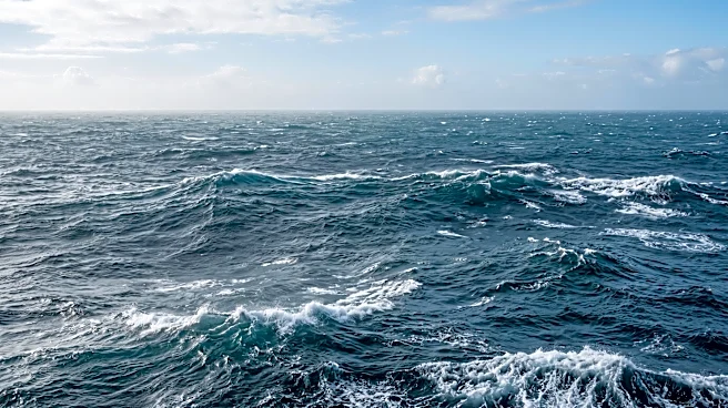
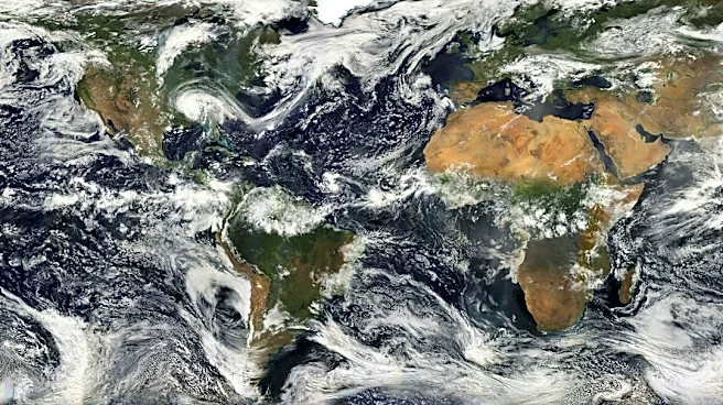
El Niño is a natural climate phenomenon in which surface waters in the central and eastern Pacific Ocean become unusually warm, causing weather extremes around the world,
including drought in some regions and heavy rainfall in others.
But how long will this El Niño last? How long will its impacts on the weather be felt? And is La Niña next? USA TODAY turned to an expert for answers.
When is El Niño expected to peak?
The El Niño is projected to peak later in 2026, or early in 2027, according to Michelle L'Heureux, a physical scientist with the National Weather Service's extended prediction division. "Right now, it looks like it will peak during the October-December or November-January periods or 'seasons,'" said L'Heureux, who also serves as NOAA's ENSO team lead, in an email to USA TODAY. "For our purposes, a season is any 3-month average which we monitor to evaluate the state of ENSO."
ENSO stands for "El Niño-Southern Oscillation," which is the overall term for the entire El Niño/La Niña/neutral cycle.
How long is this El Niño expected to last?
According to L'Heureux, it's expected to continue into spring: "Our latest ENSO update favors the return of ENSO-neutral, with a 61% chance during the April-June period. There is also a 38% chance of El Nino continuing through that period."
How long will El Niño continue to disrupt global weather patterns?
The "very strong" El Niño event is set to unleash even more heat and extreme weather well into 2027, according to a report released last week from the World Meteorological Organization (WMO). "El Niño releases heat from the ocean and is expected to increase the risk of extreme heat, drought and heavy rainfall well into 2027," according to a WMO release.
It is also expected to raise global temperatures to near-record levels. El Niño typically has the greatest impact on global average temperatures in the year after its development, the WMO said.
L'Heureux agrees, noting that, "globally I would expect impacts through at least the spring. As the sea-surface temperatures cool in the tropical Pacific, we will still see lagged influences from El Niño – sometimes these effects can be quite significant even as the ocean temperatures cool."
"This is because the El Niño can interact with other meteorological features like the monsoons and jet streams, which may have different timing from the sea surface temperature peak of El Niño itself," she said.
Is a shift to La Niña possible after El Niño ends?
"Yes, our official outlook opens the door to the development of La Niña in later 2027," L'Heureux said. "The odds of La Niña are 33% during June-August 2027, which is the longest forecast horizon NOAA officially predicts. But it is not unusual for strong El Niño events to transition into a La Niña by the following winter."
La Niña is El Niño's opposite pattern, which is marked by cooler-than-average sea water in the tropical Pacific Ocean.
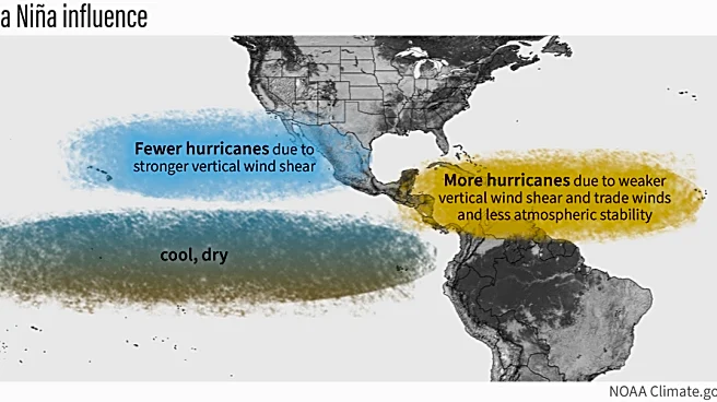
If La Niña develops and persists into next fall, this could boost the chances for an active 2027 Atlantic hurricane season, which would be in sharp contrast to this year's moribund season.

El Niño is still large and in charge
Experts say that El Niño will be the dominant driver of U.S. weather for the near future: "El Niño will remain in control of the weather pattern for the next several months," DTN meteorologist John Baranick said in an online forecast report released Nov. 11.
How has El Niño impacted the USA's weather so far?
The fall season has been one of active weather from the Southwest to the Upper Midwest, Baranick said. "Storm systems coming off of the Pacific Ocean have generally led to a storm track that favored these areas more than the rest of the country."
"This is heavily influenced by El Niño," he said. "With El Niño peaking over the next couple of months, this type of pattern is generally to be expected, though the storm track generally pushes across the southern tier of the country during the winter season."

Where El Niño could have the biggest U.S. impacts this winter
- Southern Plains, Southeast and mid-Atlantic: An active southern storm track could bring frequent rain from the southern Plains through the Southeast and into the mid-Atlantic, AccuWeather said. "Flooding concerns could increase across the lower Mississippi and Tennessee Valleys as winter progresses, with rivers starting below normal potentially reaching flood levels by spring. Some storms could also produce severe thunderstorms and tornadoes," AccuWeather said.
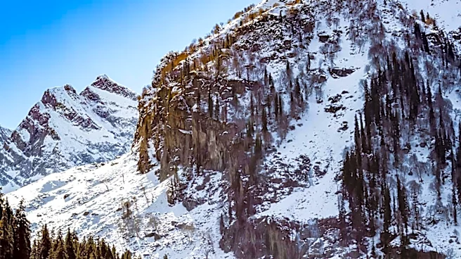
- Western mountains: Not all El Niño impacts are bad: More snow than last winter could benefit ski resorts and help replenish rivers and reservoirs as snow melts during spring and summer.
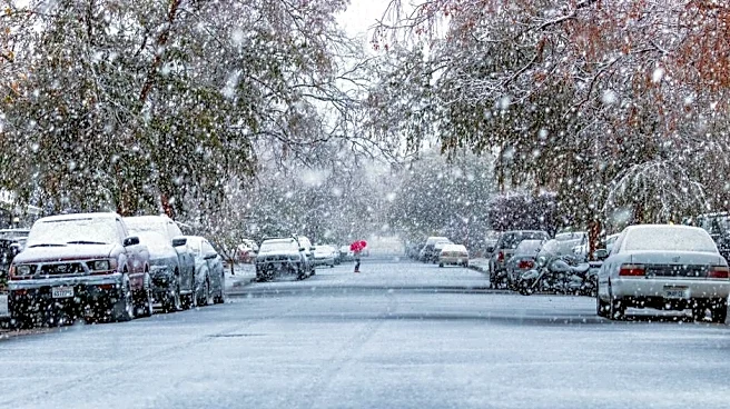
- Midwest, Great Lakes and Northeast: According to AccuWeather, warmer conditions and below-average snowfall are forecast across much of the region. Fewer sustained cold outbreaks could reduce heating demand, but significant snowstorms remain possible from late January into February.
- California: Repeated atmospheric rivers could increase flooding and landslide risks while delivering heavy Sierra Nevada snow. Strong storms could also produce high winds and coastal flooding. In between storms, coastal flooding looks likely along the California coast due to the already elevated water levels due to the very strong El Niño.
Contributing: Reuters
Doyle Rice is a national correspondent for USA TODAY, with a focus on weather and climate.
This article originally appeared on USA TODAY: El Niño still growing stronger. Here's what could happen next