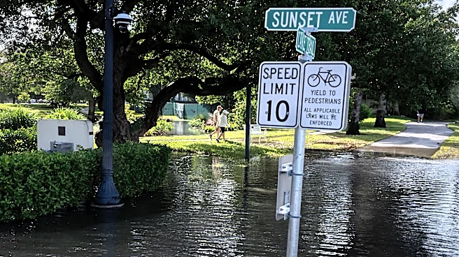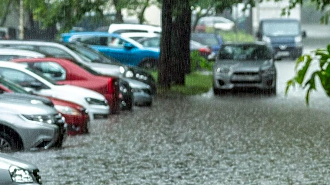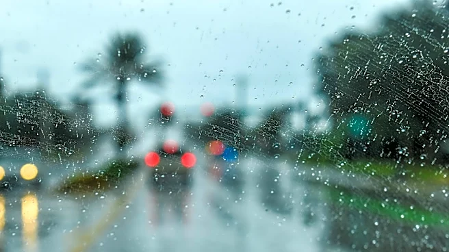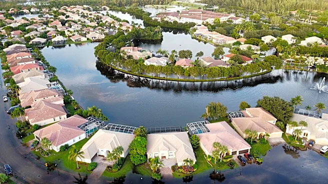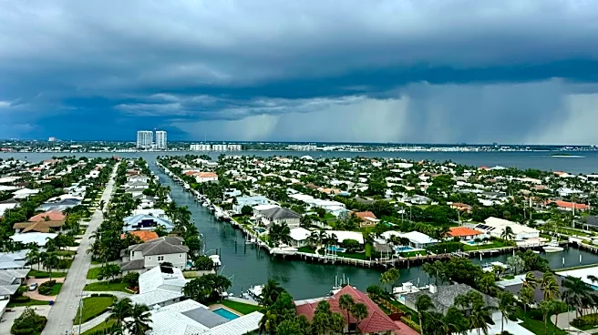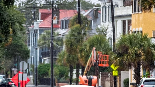



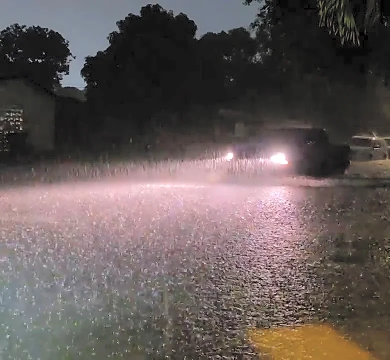


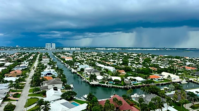
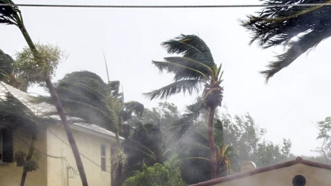
A developing low pressure area off Florida is contributing to record-setting rainfall and flash flooding along the state's east coast and could become "Kyle" off the Southeast United States coast on Friday.
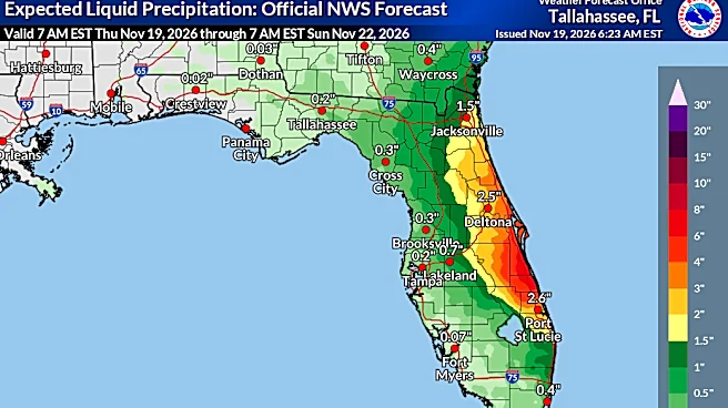
After days of heavy rain in eastern Florida, another 3 to 6 inches of rain could fall in some locations along the peninsula through Friday, the National Weather Service said on Nov. 19. The rain has prompted flash flood warnings, school closings and extended flood watches.
The non-tropical low pressure system is forecast to form off the coast by late Friday, the National Hurricane Center said and could become either a subtropical or tropical storm as it moves northward through the weekend. Kyle is the next name up on the list for the 2026 Atlantic
hurricane season.
Regardless of development,the hurricane center said strong winds, dangerous surf and coastal flooding are expected along the Southeast and mid-Atlantic coasts through early next week. Waves could reach up to 10 or 11 feet in the surf zones along the coasts of Florida and southeastern Georgia.
Any contribution of rain from the intense bands of moisture offshore will be "problematic" for Florida between Daytona Beach and Fort Lauderdale, the Weather Prediction Center said. Soaked and saturated soils increase chances for flooding during intense rainfall of more than 2 inches per hour.
Flooding in East Central Florida
Redeveloping bands of heavy rain across portions of Brevard County, Florida,overnight prompted a flash flood warning for multiple cities, including Cocoa, Titusville and Viera, according to the National Weather Service office in Melbourne.
Between 4 and 6.5 inches had fallen in 12 hours, and another 3 to 6 inches was possible in the area, the weather service said in a flash flood warning for Central Brevard County, issued at 4:50 a.m.
The St. Johns River near Cocoa topped its record high in the early morning hours of Nov. 19, and continued to rise. The previous record, set in October 1953, was 17.6 feet. The river is forecast to crest at 18.2 feet later in the day. Homes were expected to flood in locations near the river in Rockledge and Cocoa.

Flooding and rain elsewhere on Florida's east coast
A daily rainfall record of 4.18 inches was set in Fort Lauderdale on Nov. 18, breaking a record set in 1959 and contributing to a total of almost 15 inches in November. The year-to-date total is 73.35 inches, more than 23 inches above normal.
Though the majority of rain on the morning of Nov. 19was falling over Palm Beach Countyand northern Broward County, the weather service said the threat of flash flooding remained high for all of eastern South Florida, because of the already heavily saturated conditions.
A flood watch also remains in effect in Florida's northeastern region. An additional 2 to 6 inches of rain is expected, with even higher local amounts possible, the weather service said.
What is the difference between tropical and non-tropical systems?
Here's what the terms mean and how they differ:
"Tropical" – A low pressure system that becomes a tropical cyclone with a closed circulation organized around a warm core, drawing its energy from warm ocean waters.
"Non-tropical" – A low-pressure weather system that does not have a warm core.
"Sub-tropical" – A hybrid low-pressure system that has characteristics of both tropical and extratropical cyclones. They are non-frontal systems with a closed surface wind circulation around a well-defined center, but have less symmetrical wind fields and convection.
"Extra-tropical" – A system that has lost its "tropical" characteristics and draws its energy from temperature contrasts in warm and cold air masses around it.
This article originally appeared on USA TODAY: Flash flooding, record-setting rain hit Florida