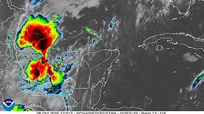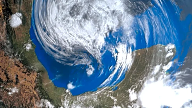





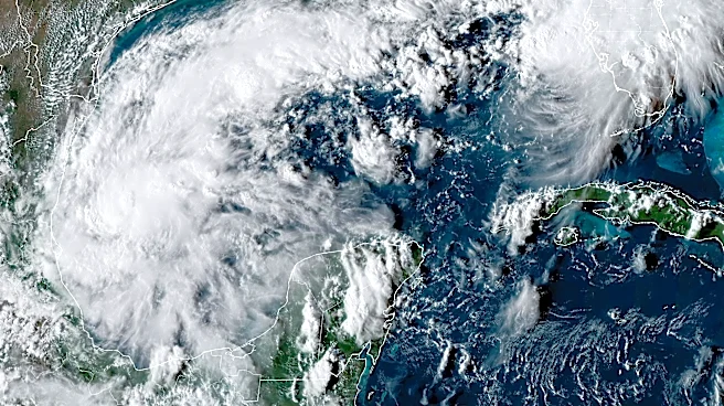
Tropical Storm Isaias has formed in the Gulf and the system is forecast to strengthen rapidly in the next couple of days, with forecasters projecting it reaching hurricane strength by Thursday, Oct. 8.
According to an early Wednesday morning, Oct. 7 bulletin from the National Hurricane Center
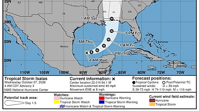
, Isaias is located about 580 miles southwest of the mouth of the Mississippi River with maximum sustained winds near 40 mph with higher gusts.Forecasters said Isaias is moving east-northeast around 8 mph, with a turn toward the northeast and north expected on Thursday and Friday. Isaias is projected to pass to the north of the Yucatan Peninsula on Thursday and approach the northern Gulf Coast on Friday.
could reach US as a hurricane
Potential impact from Isaias
Isaias could have winds of over 100 mph by Friday, Oct. 9, as it approaches the U.S. coast, according to the center's hurricane specialists. Forecasters said. It's forecast to peak before making landfall, but could still be a "significant" hurricane when it reaches the coast with strong winds and flooding rain, the hurricane center said. It should then dramatically weaken.
The storm is expected to produce rainfall amounts of 2-4 inches through Thursday across coastal portions of the Bay of Campeche with isolated higher amounts possible in the states of Campeche and western Yucatan.
From Friday, Oct. 9 through the weekend, Isaias is expected to produce 3-6 inches, with localized totals up to 10 inches, across the northern U.S. Gulf Coast extending from far southeastern Louisiana to the Florida Panhandle. Rainfall amounts of 1-3 inches, with localized amounts up to 5 inches, are possible across much of the Southeast as far north as the Tennessee Valley and the Carolinas. Flash and urban flooding will be possible, forecasters said.
Tropical Storm Isaias path tracker
This forecast track shows the most likely path of the center of the storm. It does not illustrate the full width of the storm or its impacts, and the center of the storm is likely to travel outside the cone up to 33% of the time.
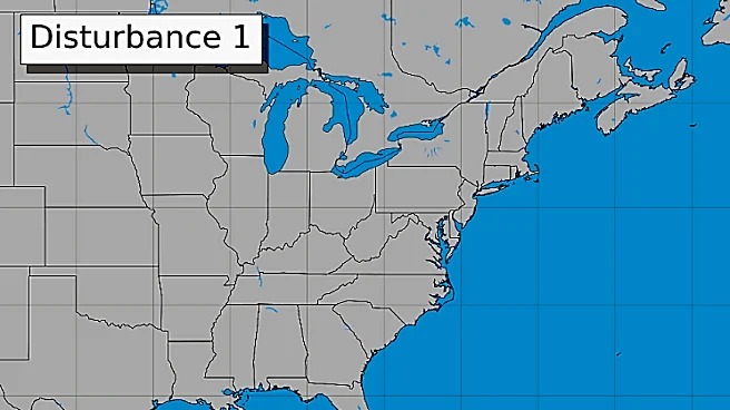
Tropical Storm Isaias spaghetti models
Illustrations include an array of forecast tools and models, and not all are created equal. The hurricane center uses only the top four or five highest-performing models to help make its forecasts.
Gabe Hauari is a national trending news reporter at USA TODAY. You can follow him on X @GabeHauari or email him at Gdhauari@usatoday.com.
This article originally appeared on USA TODAY: Tropical Storm Isaias path tracker: See where the storm is headed