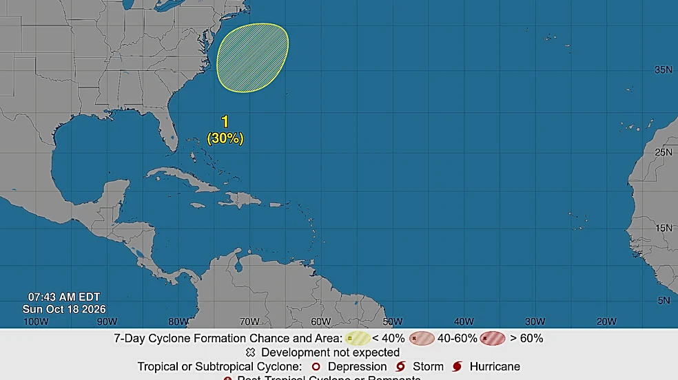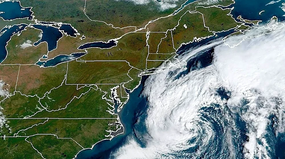






A powerful nor’easter churning several hundred miles off the North Carolina coast could develop tropical or subtropical characteristics this week as it moves over the warm waters of the Gulf Stream, according to the National Hurricane Center.
The storm, designated Invest 93L, is a non-tropical low-pressure system that could develop more organized thunderstorms and gradually lose its frontal features.
Forecasters gave the system a 40% chance of developing tropical or subtropical characteristics within the next 48 hours and over the next seven days, according to the hurricane center’s Tuesday morning outlook.
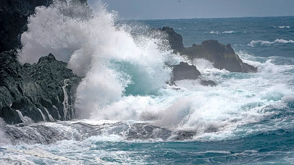
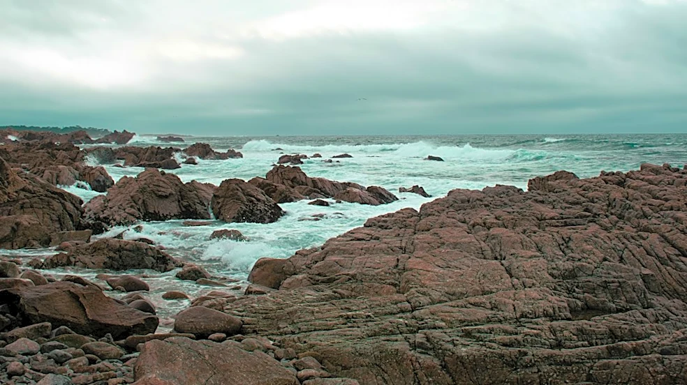
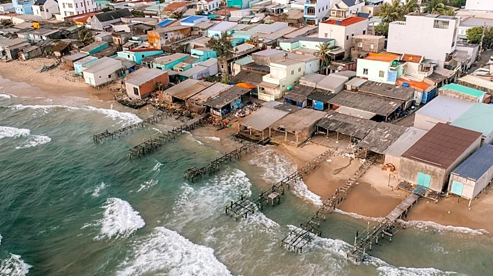
Regardless of whether the system develops into a tropical storm, it is expected to bring high winds, coastal flooding and dangerous surf to parts
of the East Coast over the next several days.
Shop winter wear at Amazon

What is a Nor'easter?
A Nor’easter is a storm along the East Coast of North America that typically blow over coastal areas. These storms can occur at any time of year but are most frequent and most intense between September and April, according to the National Weather Service.
Nor’easters usually develop between Georgia and New Jersey, within about 100 miles of the coast, and generally move northeastward, reaching maximum intensity near New England and the Canadian Maritime Provinces. They often bring heavy precipitation — rain or snow — along with gale-force winds, rough seas and sometimes coastal flooding.
How do Nor’easters develop?
The U.S. East Coast provides an ideal environment for Nor’easters. In winter, the polar jet stream pushes cold Arctic air south across Canada and the U.S., then east toward the Atlantic Ocean, according to the National Weather Service. At the same time, warm air from the Gulf of America, renamed by the Trump administration and formerly the Gulf of Mexico, and the Atlantic moves northward. The contrast between the cold land air and relatively warm coastal waters — kept mild by the Gulf Stream — fuels these storms, creating the strong winds and precipitation that define a Nor’easter.
Why is it called Nor'easter?
It’s called a Nor’easter because of the direction of the prevailing winds during the storm. In these systems, the winds along the coast usually blow from the northeast.
What is the difference between a nor’easter and a hurricane?
Nor’easters and hurricanes can both produce powerful winds, heavy precipitation, dangerous waves and coastal flooding. The key difference is how they form and draw energy, according to NOAA.
Nor’easters are powerful low-pressure systems that typically develop along the East Coast and draw energy from temperature differences between warm and cold air masses. They often have fronts and can bring rain, snow or a combination of precipitation, depending on the season and location.
Hurricanes, by contrast, are tropical cyclones that draw energy from warm ocean water. They have a warm core and lack the fronts associated with typical midlatitude storms.
A storm does not become a hurricane simply because its winds strengthen. It must develop the structure and characteristics of a tropical cyclone, including a warm core and organized thunderstorms around a closed circulation. A tropical cyclone in the Atlantic must have sustained winds of at least 74 mph to qualify as a hurricane.
How can a nor’easter develop tropical characteristics?
The transition can happen when a coastal storm moves over sufficiently warm ocean water and develops organized thunderstorms near its center.
In this case, the Gulf Stream could provide a source of warm water as the low-pressure system moves slowly north-northeastward, according to the National Hurricane Center. If the system develops deeper, more organized convection and separates from its existing frontal boundary, it could briefly acquire subtropical characteristics.
Subtropical cyclones have features of both tropical and non-tropical storms. They typically have a broader wind field, with their strongest winds farther from the center than in a typical tropical cyclone.
Some subtropical storms can transition into fully tropical systems. If that happens, the system could eventually meet the criteria for a tropical storm or hurricane, depending on its structure and wind speed.
Could the storm become a named storm?
The system could become the next named storm of the 2026 Atlantic hurricane season if it develops into a tropical or subtropical cyclone. The next name on the Atlantic list is Josephine.
However, the hurricane center said conditions are expected to become less favorable for tropical or subtropical development as the system accelerates northeastward and moves away from the East Coast later this week.
The storm's classification could change, but its potential impacts remain important regardless of whether it receives a name.
High winds, coastal flooding and dangerous surf are expected along portions of the East Coast in the coming days. Residents and visitors should follow forecasts and alerts from their local National Weather Service office.
U.S. weather watches and warnings map
Stay informed. Get weather alerts via text
Brandi D. Addison covers weather across the nation as the Weather Connect reporter for the USA TODAY Network and contributes to Texas Connect coverage across the state. She can be reached at baddison@usatodayco.com. Follow her on Facebook here.
This article originally appeared on USA TODAY: Can a nor’easter become a hurricane? Coastal storm strengthens
Our editors independently choose our recommendations. Some content is produced with paid support from a third party, however our editorial decisions remain independent. If you buy through our links, the USA TODAY Network may earn a commission. Prices and availability may change.