

Hawaii is on alert for another potential tropical system.
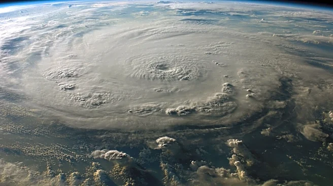
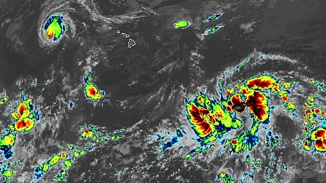
A red blob on the National Hurricane Center's tracking map for the Pacific Ocean has grown more threatening for the state, which is still recovering from Hurricane Lala's winds and tremendous rainfall.
The disturbance, still well to the east-southeast of the Hawaiian Islands, has a 90% chance of becoming a tropical depression within the next 48 hours, according to a tropical outlook on Aug. 19 by Larry Kelly, a hurricane specialist at the National Hurricane Center, part of the National Weather Service.
"Interests in the Hawaiian Islands should closely monitor the progress of this system," Kelly warned. The next storm that forms in the Central Pacific would be named Moke.

While most computer
forecast models keep the storm south of Hawaii, the Honolulu weather service office said the system is still expected to bring tropical moisture and rain to the area.
Some of the forecast models have suggested that this storm could once again threaten the Big Island, following a track similar to Lala's, Andy Hazelton, an associate scientist at the University of Miami, posted on X. "Hopefully it'll avoid a direct hit (too early to say), but any impacts would be problematic as the islands are still recovering from Lala."
Things remain uncertain because the system has yet to develop, the weather service office said. "Please continue to monitor the forecast as it is subject to change as we get closer to the weekend and details surrounding the forecast become clearer."
The storm's size and proximity will influence how much it affects the islands and surf conditions.
This next storm could make a "concerningly close approach to the Big Island," Daniel Swain, a California climate scientist, said during his Aug. 18 Weather West podcast. "This could seriously affect disaster recovery if it comes close. The consensus right now is a track to the south of Hawaii, but a couple of members are further north and do suggest that a direct hit is possible from a tropical storm or hurricane. So, it's something to keep an eye on."

Lala recovery continues
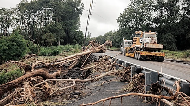
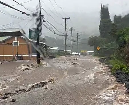
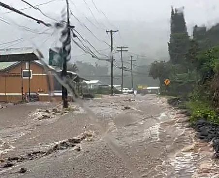
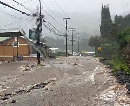
More moisture will probably not be welcome after heavy rain fell across much of the island chain as Hurricane Lala moved through. More than 40 inches of rain fell in one location on the northeastern side of the Big Island, with more than a foot recorded in other areas on the island.
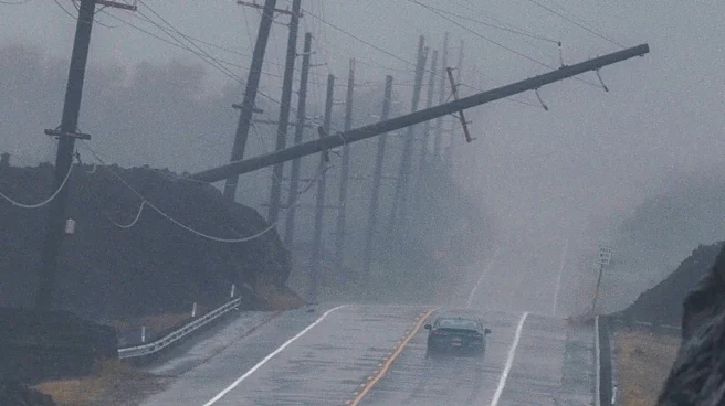
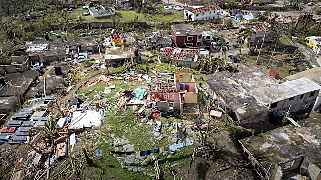
Hawaiian authorities reported that at least 100 homes were damaged or destroyed across the state as Lala passed over.
Recovery from the flash flooding and high winds continues. On Aug. 19, roughly 20,000 electrical customers remained without power, according to USA TODAY's outage tracker. That's about 5% of the customers in the state, including about a quarter of the customers on the Big Island.
El Niño influencing the Pacific
Elsewhere in the Pacific, a potential disturbance farther to the east shows an 80% chance of developing over the next seven days. The next storm that forms in the Eastern Pacific would be named Iselle.
Hazelton, Swain and other scientists have noted how warming sea surface temperatures expanding northward in the Pacific during an El Niño can lead to a more active tropical storm season. "The strong El Niño is definitely rearing its head," Hazelton said in his X post.

Dinah Voyles Pulver, a national correspondent for USA TODAY, covers climate change, weather, the environment and other news. Reach her at dpulver@usatoday.com or @dinahvp on Bluesky or X or dinahvp.77 on Signal.
This article originally appeared on USA TODAY: Hurricane forecasters put Hawaii on alert as tropical storm brews