

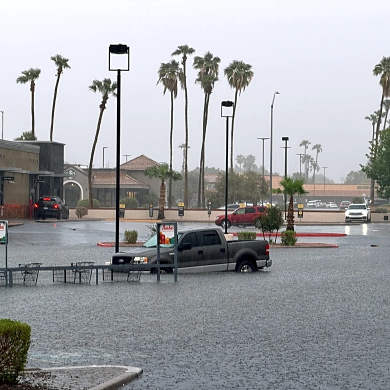
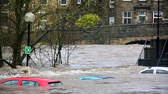

A sprawling storm system will bring thunderstorms, heavy rain and isolated severe weather from the Rockies to the Northeast through the weekend, with another round of storms expected across parts of Texas and the Southwest next week.
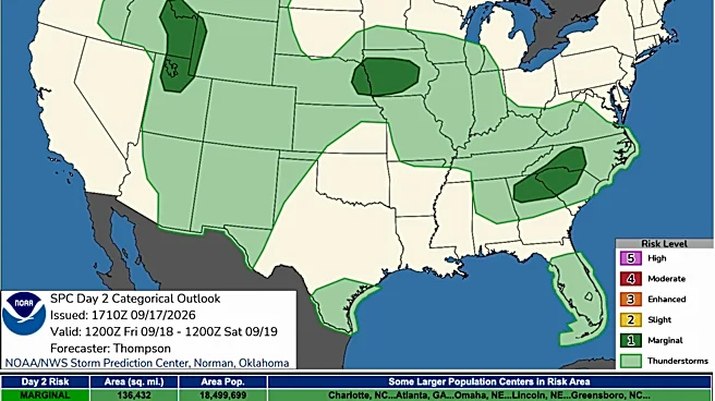
The severe weather threat is not expected to be widespread, but millions of people could see thunderstorms, with damaging winds, hail and localized flooding possible depending on where storms develop, according to the Storm Prediction Center.
Shop Amazon for rain gear
What to expect by region
- Rockies and Great Basin: Scattered thunderstorms will develop across Idaho and Utah Thursday and Friday, with a few storms capable of producing large hail and damaging wind gusts.
- Central Plains: Storms will spread from Colorado into Nebraska, Kansas and parts of Oklahoma through Saturday, with isolated severe wind gusts and hail possible.
- Texas: Parts of the South Plains and Panhandle could see strong to severe storms Saturday, while another surge of monsoon moisture is expected to bring more thunderstorms beginning Tuesday.
- Midwest: Thunderstorms will develop across parts of Nebraska and Iowa Friday before spreading toward the Mississippi Valley, where heavy rain becomes a bigger concern this weekend.
- Ohio Valley: Storms will become more widespread Sunday as a low-pressure system and cold front move east, bringing the potential for heavy rainfall and isolated flash flooding.
- Northeast and Mid-Atlantic: Showers and thunderstorms will spread into the region Sunday and Monday, with heavy rain and localized flash flooding possible.
When is the worst weather?
The storm threat will shift east throughout the weekend.
- Thursday-Friday: Storms develop across the Great Basin, Rockies and northern Plains, with isolated severe weather possible.
- Saturday: Storms spread across the central and southern Plains, including parts of Texas, with isolated damaging winds and hail possible.
- Sunday: The focus shifts toward the Midwest, Mississippi Valley and Northeast, where heavy rain and thunderstorms could produce flooding.
- Monday: The associated cold front pushes farther south and east, carrying showers and thunderstorms with it.
Where will storms hit this weekend? See the maps


Texas isn't done with storms
The weekend storm system will not be the last round
of rain for Texas.
A trough moving into the West will help pull monsoon moisture northward beginning Monday, with thunderstorms expected to increase across New Mexico and the Texas Panhandle starting Tuesday.
Storms could continue through the rest of next week, bringing repeated chances for heavy rainfall and flash flooding. Burn scars, slot canyons, dry washes and areas with recently saturated soil will be especially vulnerable to flooding.
What's driving the storm system?
A trough moving across the northern tier of the country will help push a cold front south and east through the Plains, Midwest and Northeast, according to the Storm Prediction Center.
At the same time, another upper-level trough will move into the West, helping pull monsoon moisture northward into the Southern High Plains next week.
The result will be several rounds of unsettled weather rather than one single storm system affecting the entire country at once.
U.S. weather watches and warnings map
Stay informed. Get weather alerts via text
Brandi D. Addison covers weather across the nation as the Weather Connect reporter for the USA TODAY Network and contributes to Texas Connect coverage across the
This article originally appeared on USA TODAY: Storms sweep across US this weekend. See when they hit your area
Our editors independently choose our recommendations. Some content is produced with paid support from a third party, however our editorial decisions remain independent. If you buy through our links, the USA TODAY Network may earn a commission. Prices and availability may change.