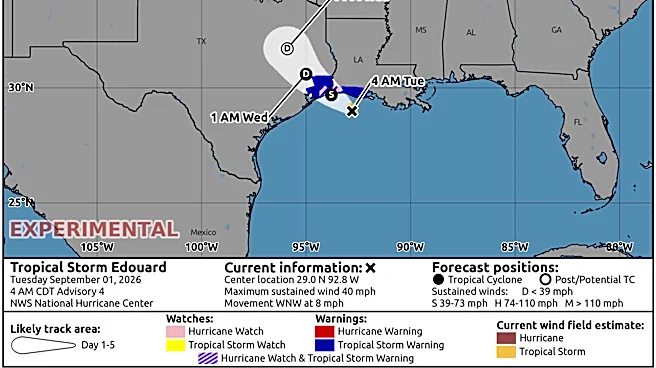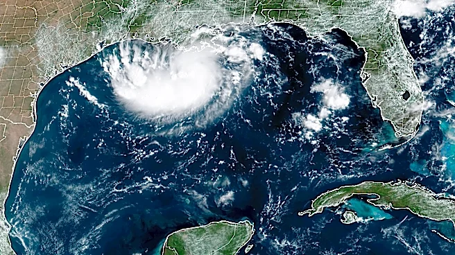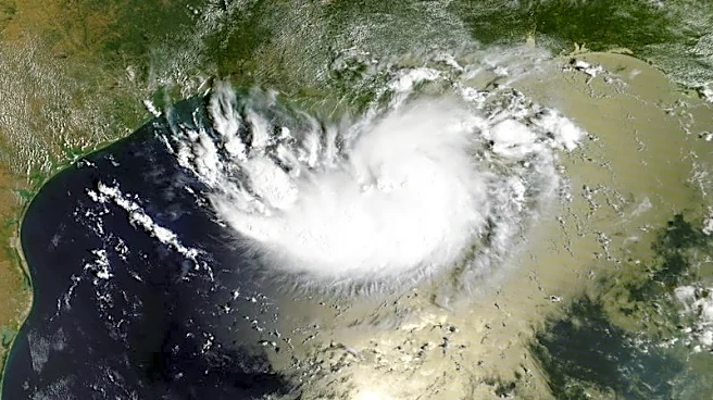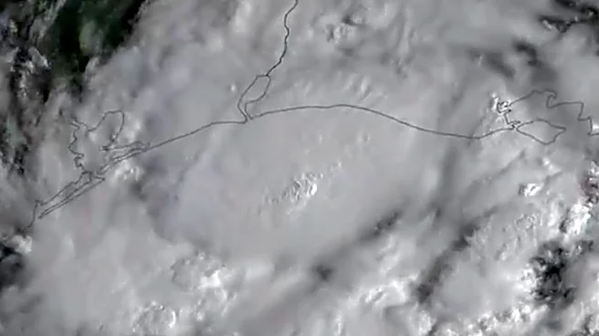






While former Tropical Storm Edouard made landfall in Texas yesterday afternoon and is weakening, the threat hasn't passed just yet.
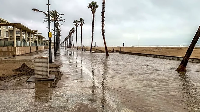
The threat of flooding and flash floods still lingers across much of East Texas and the Houston area, with power outages affecting 10 counties and more than 77,000 customers on Sept. 2.
Officials are asking individuals to watch road conditions and turn around if floodwaters are too high, as six inches of fast-moving water can cause drivers to lose control of their vehicles, including trucks and SUVs.
Here's what to know about the still-lingering threat of former Tropical Storm Edouard and how to stay safe.

Flood risks still linger in Texas as Tropical Storm Edouard is downgraded
No longer called a tropical storm and now referred to as a depression, the upper Texas coast is still not out of
the woods when it comes to the threat of flooding.
Flood and Flash flood warnings are still lingering for East Texas just north of Houston, as the National Weather Service forecasts the area to see an expected rainfall rate of two to four inches an houron Sept. 2.
This comes on top of the area already receiving nine to 15 inches of rain as the weather service warns people not to drive in the hazardous conditions.

Power outages hit East Texas
As of 8 a.m. on Sept. 2, 10 counties are currently being impacted by outages, according to the outage tracker Poweroutage.us.
Here's a look at how many customers are being impacted in each county:
- Jefferson County — 28,647
- Hardin County — 19,956
- Polk County — 9,751
- Orange County — 8,447
- Tyler County — 7,751
- Liberty County — 1,457
- San Jacinto County — 534
- Trinity County — 207
- Angelina County — 300
- San Augustine County — 145
Where is former Tropical Storm Edouard?
National Hurricane Center tracking what's left of Edouard, 2 tropical waves
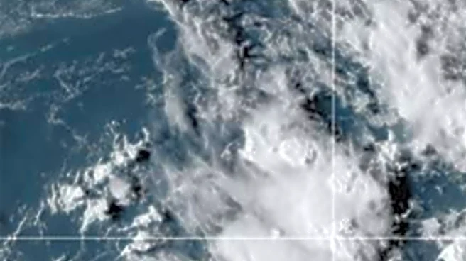
The National Hurricane Center issued its last advisory on Edouard at 4 a.m. CT Sept. 2. Forecasters are watching two tropical waves:
- An eastern Atlantic tropical wave is along 40W, south of 20N, moving westward at 17 to 23 mph.
- A well-defined tropical wave in the central Atlantic is along 55W, south of 23N, moving westward at 17 mp
Texas watches and warnings
Stay informed. Get weather alerts via text
Mateo Rosiles is the Texas Connect reporter for USA TODAY and its regional papers in Texas. Got a news tip for him? Email him at mrosiles@usatodayco.com.
This article originally appeared on USA TODAY: Edouard is fading, but Texas isn’t in the clear yet with flash flood risk