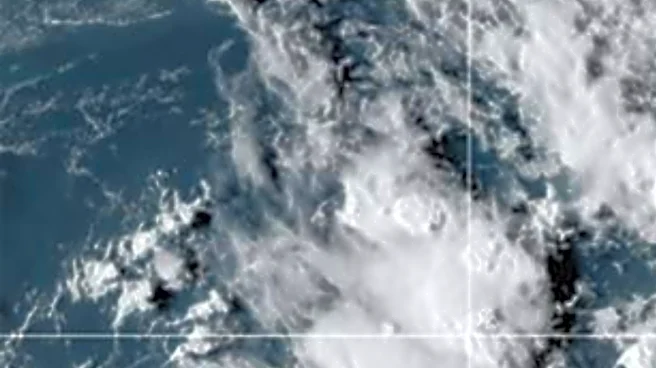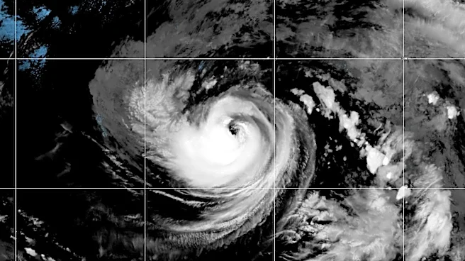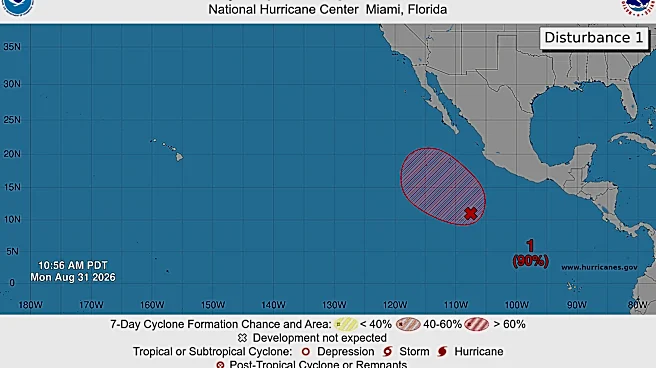

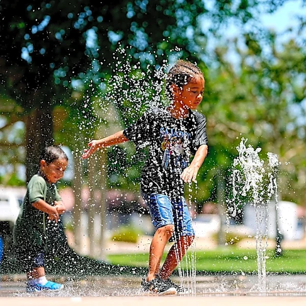
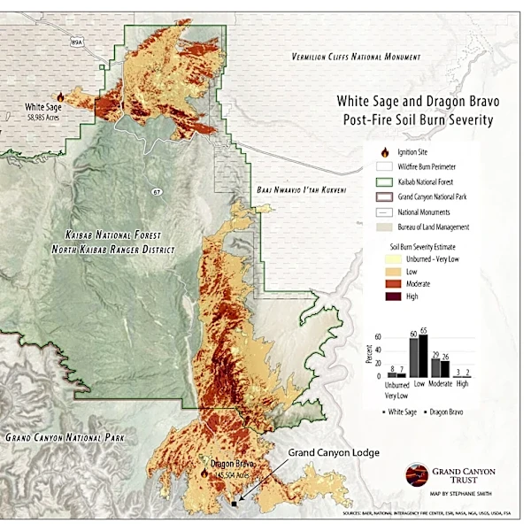



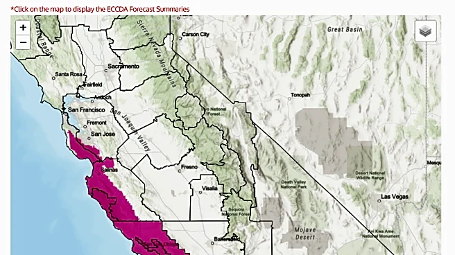

A red blob shown off the coast of Mexico on the National Hurricane Center's Pacific Ocean map represents a developing tropical system, one that forecast models show could eventually impact the U.S. state of California.
Models show the system could bring rain to Southern California and a few even show the potential for more direct impacts, leading to a flurry of speculation on Monday, Aug. 31. In fact, the news that a hurricane could affect California has gone viral, with wild headlines such as "Could California really get hit by a hurricane this weekend?" common.
That would indeed be an unusual occurrence: The last tropical storm to make landfall in California was in 1939, USA TODAY previously reported.
Under the influence of a strengthening El
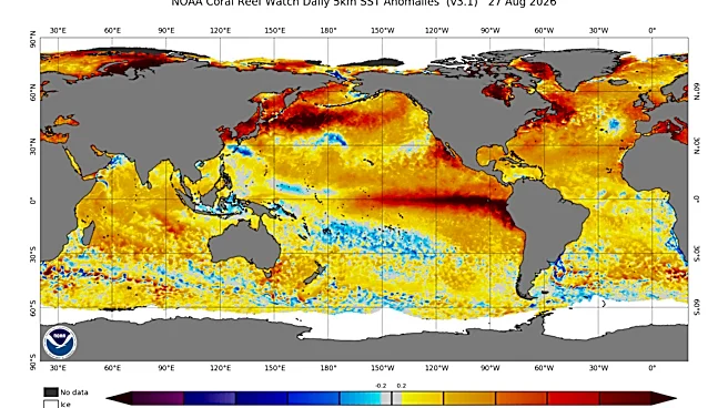
Niño, a plethora of storms have been seen in the Pacific this summer. The pattern of warmer than normal water along the equator in the Eastern Pacific heats things up and favors increases in the number of tropical storms and hurricanes in the Pacific. So far, the hurricane center has named 14 storms in the eastern and central Pacific basins, including four hurricanes.
Could the influence of the powerful El Niño bring a storm to the California coast?
Tropical storm about to form
Showers and thunderstorms associated with the red "blob," a broad area of low pressure south of Mexico's Baja California Peninsula and several hundred miles south-southwest of the Mexican coast, are becoming better organized, the hurricane center said.
Conditions offshore are favorable for additional development and "a tropical depression or tropical storm is expected to form later today or tonight [Aug. 31] as the system moves northwestward around 10 mph," the hurricane center said in an online bulletin. The name from the list of rotating storm names in the eastern Pacific due to be assigned to the next storm that forms is Marie.
The strong tropical disturbance, designated Invest 95E by the hurricane center, is about 1,500 miles south-southeast of San Diego, said Michael Lowry, a hurricane specialist at WPLG-TV in South Florida. It's "getting some attention out west because of long-range forecasts from the American GFS (model) suggesting the possibility of a hurricane threat to southern California in about a week," Lowry told USA TODAY in an email.
Could Hurricane Marie be next?
The system may develop into a hurricane as early as next Sunday or Monday, said Sebastian Westerink, a meteorologist with the National Weather Service in San Diego.
As of Aug. 31, the direction of that storm is uncertain, Westerink said. "Whether it'll pan out something similar to what we saw with (Hurricane) Hilary a few years ago, or whether it would just be some light rain, is uncertain right now," he said. "But we're definitely tracking it."

So... you're saying there's a chance
The storm has a 90% chance of strengthening into a hurricane, Westerink said. A system is classified as a hurricane when it reaches sustained winds of at least 74 mph, while tropical storms have sustained winds of 39 to 73 mph.
If the system becomes a hurricane, it could remain a hurricane for a short time, Westerink said. However, it's forecast to begin weakening as it approaches northern Baja, where ocean temperatures below 80 degrees are less favorable for tropical systems. Sea surface temperatures generally must exceed 80 degrees to sustain hurricane strength, he said.
"And so, the real question is: How much would it weaken?" Westerink said.
One possibility is the system remains strong enough that it weakens only to a tropical storm by the time it reaches Southern California, Westerink said. Another possibility is that it weakens altogether and transitions into post-tropical remnants, bringing impacts such as heavy rain and gusty winds.
The system could track toward the northwest and could be responsible for bringing some "monsoonal moisture into portions of southern California for next weekend," the weather service office in San Diego said in an Aug. 31 long-term forecast. "More direct impacts from a decaying tropical cyclone are less likely," the weather service said, with fewer than 5% of the weather model solutions supporting such a possibility.
Other meteorologists concurred, indicating the majority of model guidance doesn't show a credible hurricane threat to California during the second week of September.

Has a hurricane or tropical storm ever hit California?
In the modern records kept by the hurricane center and the Hurricane Research Division at the Atlantic Oceanic and Meteorological Laboratory, no hurricane has ever made a direct landfall on the California coast. Two have come close, one in October 1958 and another in 1939. The 1939 storm, named "El Cordonazo," approached Los Angeles and set rainfall records, but its winds had fallen to tropical storm strength before it made landfall.
The remnants of hurricanes are another story. Between remnant systems and tropical storms, at least 50 storms or hurricanes have either affected or moved over California and Arizona. That includes Norman (1978), Emily (2005) and Kay (2022).
In August 2023, during a previous El Niño, the remnants of Hilary delivered historic flooding and gusty winds to the Southwest, USA TODAY previously reported. Daily rainfall records were set in Los Angeles, San Diego and Death Valley.
Track the tropics
Doyle Rice and Dinah Voyles Pulver are national correspondents for USA TODAY, with a focus on weather and climate. Reach them at drice@usatoday.com and dpulver@usatoday.com .
This article originally appeared on USA TODAY: Is a hurricane headed for California? Here's the latest forecast