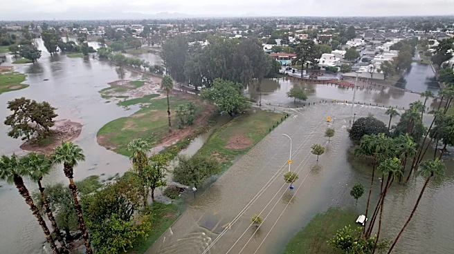





El Niño is already making its presence felt in the Southwest.
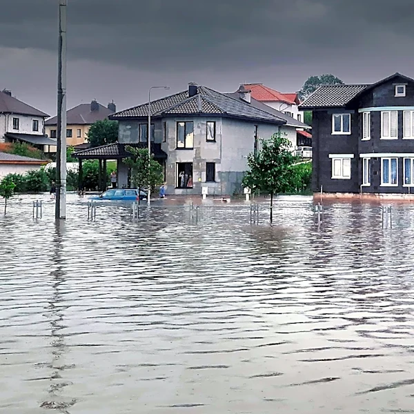
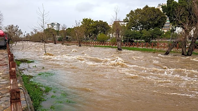
Heavy rain over the weekend caused widespread flooding in parts of Colorado, New Mexico and Arizona on Nov. 1 and "dangerous" flooding was forecast to continue into Nov. 2 in portions of the region, forecasters said.
"The widespread rainfall continues through Monday [Nov. 2]," the National Weather Service in Grand Junction, Colorado, said
.As of the morning of Nov. 2, 11 rivers in Colorado and Arizona were either just coming out of major flood stage or about to go into flood stage, the weather service said.
"Flood warnings are active across southwest Colorado and southeast Utah through Monday afternoon. The Mancos, Dolores, La Plata, Animas, Navajo and San Juan rivers are flooding,"
said the weather service, also warning of potential rockfalls, mudslides and debris flows in terrain along burn scars and slot canyons.

Catastrophic flooding in Colorado
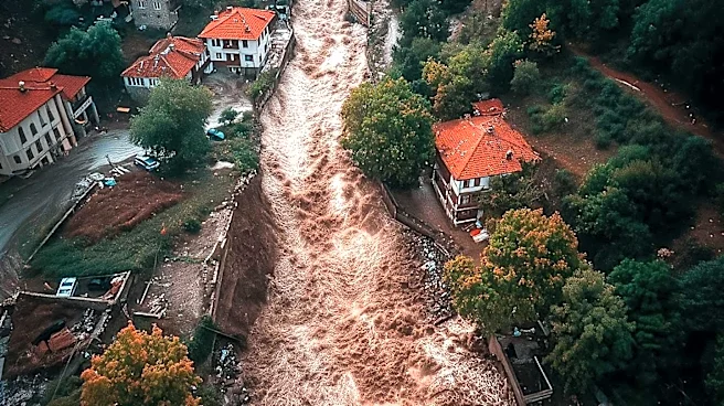
Flooding in Colorado over the weekend was described as "catastrophic" and "historic."
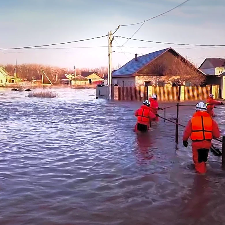
In Archuleta County, Colorado, home to Pagosa Springs, major flooding prompted evacuations and shelter openings and closed several roads. County officials reported a drop box for election ballots had been closed because of the flooding.
In fact, "flash flooding in Pagosa Springs, Colorado, turned so dangerous so fast that evacuation orders became shelter-in-place orders on Sunday [Nov. 1]," Weather.com said.
Overall, more than 3 inches of rain fell west of Pagosa Springs, Colorado, triggering emergency evacuations ahead of major river flooding occurring along the San Juan River.
At one point, the weather service had predicted the river would crest at 21.9 feet, more than four feet above its previous record. "The Archuleta County’s Sheriff’s Office warned of 'catastrophic flooding' as the San Juan River climbed past 16 feet, closing in on a record set in the historic 1911 flood," Weather.com reported.
"Historic flooding" continued on the night of Nov. 1, said the weather service said.
Rain, snow totals
- In Durango, Colorado, 4.3 inches of precipitation was reported on Nov. 1 with widespread amounts over 2.5 inches for most of the region. Precipitation of 1.8 to 2.6 inches occurred in the area around Cortez.
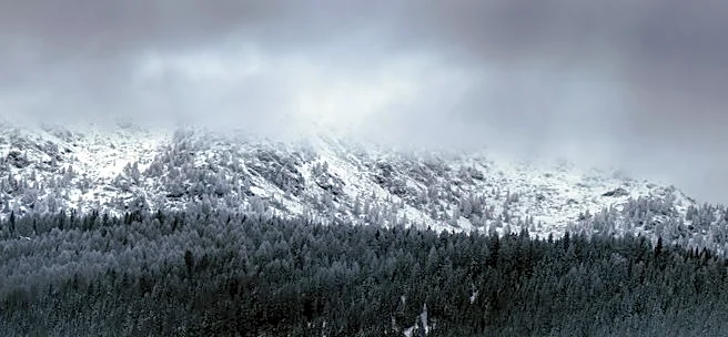
- Snow is dropping to lower elevations in the region, with up to 1.5 feet of snow forecast in the San Juan Mountains and 6 to 12 inches in northern and central mountains, triggering winter storm warnings in areas above 9,000 feet.

What's the forecast?
Considerable river flooding, including major and record river flooding, is ongoing or forecast across parts of central Arizona, southwest Colorado and northwest New Mexico through Nov. 3, the weather service said.
Additional rainfall amounts of 1 to 2 inches are expected across the Four Corners region this morning (Nov. 2), which may result in renewed flooding along small streams and arroyos.
However, after a very wet weekend across parts of the Southwest, drier weather will return in time for Election Day (Nov. 3), AccuWeather said.
But "the departure of the rain does not necessarily mean all weather-related problems will be behind residents. Flash flooding and runoff over the weekend could have caused road washouts and closures, with cleanup efforts potentially continuing into Tuesday Nov. 3," said AccuWeather meteorologist Brandon Buckingham, in an online forecast.
Travelers should check local road conditions before heading out, as lingering impacts from the weekend's heavy rain could remain even after the sky clears, he added.

Arizona rivers
After two big rain events in two weeks, river levels are reaching historic heights:
- Little Colorado River at Woodruff - Broke its previous record by roughly six feet on Nov. 2, with records dating back to the 1950s, the weather service said.
- Gila River near Solomon - Rose 18 feet between the afternoon of Nov. 1 and the morning of Nov. 2, surpassing its previous historic high by six feet. Records for the station date back to 2014.

El Niño led to record floods
This was the second round of disastrous flooding in the Southwest over the past couple of weeks. According to Daniel Swain, a climate scientist with the University of California Agriculture and Natural Resources, writing in his Weather West blog, "the fact that this pair of back-to-back extreme-to-record shattering rain events across the interior Southwest have occurred during the autumn during (one of the) strongest El Niño events on record is not a coincidence!"
"Such events are known to be amplified by 1) unusually warm ocean waters in the eastern subtropical Pacific, 2) increased East Pacific tropical cyclone activity, and 3) a strengthened early-season subtropical jet in this region – all of which are much more likely to occur under strong El Niño conditions," Swain wrote.
Dinah Voyles Pulver and Doyle Rice are national correspondents for USA TODAY, with a focus on weather and climate.
This article originally appeared on USA TODAY: 'Catastrophic' rain hits Southwest states, thanks to El Niño