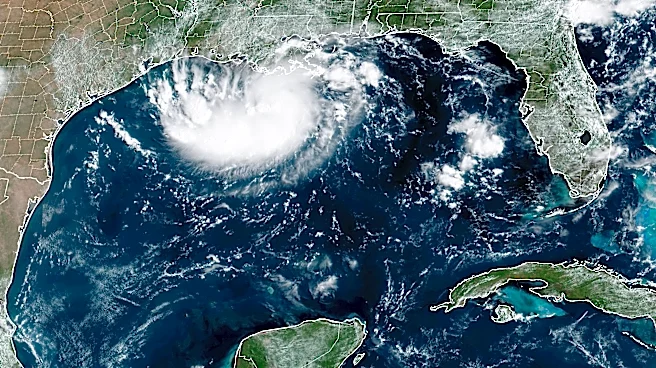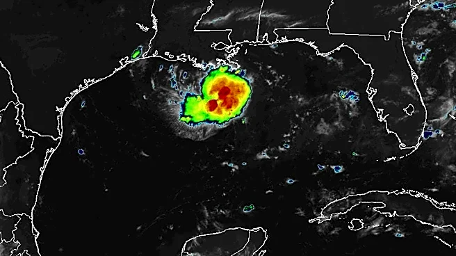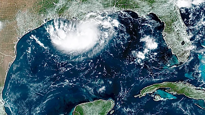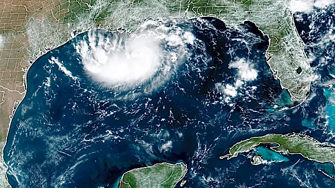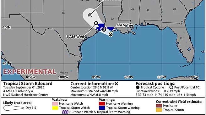






Tropical Storm Edouard is poised to significantly strengthen before it reaches the northwestern Gulf Coast on Tuesday, Sept. 1, according to the National Hurricane Center.
Forecasters said in an early morning advisory on Sept. 1 the storm is located about 90 miles southeast of Port Arthur, Texas with maximum sustained winds around 40 mph with higher gusts.
The hurricane center said "significant strengthening" is forecast Sept. 1, with Edouard potentially approaching hurricane strength before it reaches the Gulf Coast. Rapid weakening, however, is expected after the center of the storm moves inland.
A tropical storm warning was hoisted by the hurricane center from Port Bolivar, Texas, to the Vermilion/Cameron Parish Line in Louisiana as of midday
on Aug. 31. A tropical storm warning means that tropical storm conditions are expected somewhere within the warning area, in this case within the next 24-36 hours.
Storm surge watches and warnings were listed along the coast from High Island, Texas, to the Vermilion/Cameron Parish Line, with a forecast storm surge of 3 to 5 feet, with a forecast of 1 to 3 feet from the Vermilion/Cameron Parish Line to Morgan City, Louisiana.
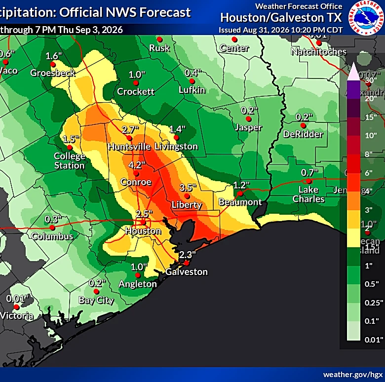
Forecasters said Edouard is expected to produce rainfall totals of 3 to 6 inches, with maximum totals up to 9 inches, for parts of the Upper Texas coast inland through east-central Texas. Southwest Louisiana could see between 2 to 4 inches of rain.
Downpours are forecast to spread westward across southern Louisiana on Aug. 31, AccuWeather said. Showers and thunderstorms will spread west into Texas overnight.
"Houston and surrounding communities may experience the most persistent rainfall from late Monday night [Aug. 31] through Tuesday [Sept. 1]," AccuWeather meteorologist Emma Belscher said in an online forecast.
Tropical Storm Edouard path tracker
This forecast track shows the most likely path of the center of the storm. It does not illustrate the full width of the storm or its impacts, and the center of the storm is likely to travel outside the cone up to 33% of the time.
Tropical Storm Edouard spaghetti models
Illustrations include an array of forecast tools and models, and not all are created equal. The hurricane center uses only the top four or five highest-performing models to help make its forecasts.
Contributing: Doyle Rice and Dinah Voyles Pulver, USA TODAY
Gabe Hauari is a national trending news reporter at USA TODAY. You can follow him on X @GabeHauari or email him at Gdhauari@usatoday.com.
This article originally appeared on USA TODAY: Tropical Storm Edouard path tracker: See where the storm is headed