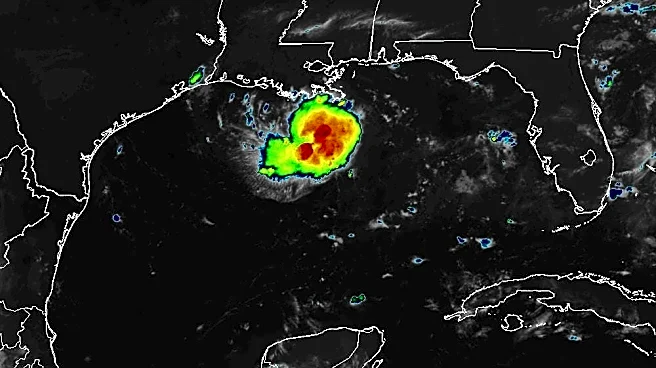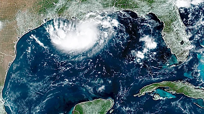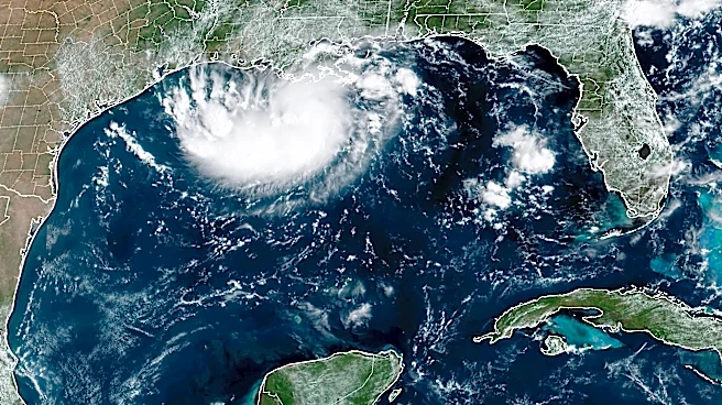






Tropical Storm Edouard could reach hurricane strength as it nears the coasts of Texas and Louisiana on Sept. 1, the National Hurricane Center said.
The storm could lash the region with heavy rain and gusty winds on Sept. 1 and into Sept. 2, forecasters said.
Edouard, the fifth named storm of the Atlantic hurricane season, will be moving through warmer than normal waters in the northern Gulf, which could give the storm a boost as it makes its final approach, the hurricane center said. The rain began in southern Louisiana on Monday and gradually moved westward overnight.
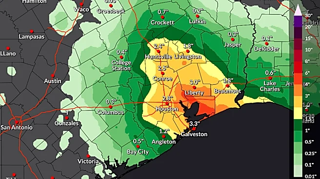
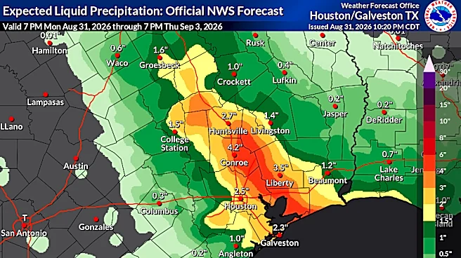
Up to 9 inches of rain could fall in isolated locations, with 3 to 6 inches of rain widespread along the upper Texas coast, the hurricane center said in its latest forecast. A hurricane watch
was in place the morning of Sept. 1 from High Island, Texas, to Cameron, Louisiana, meaning hurricane conditions are possible within 12 hours. Forecasters said winds could cause damage to porches, sheds and unanchored mobile homes, snap trees and cause scattered power outages.
Edouard is "poised to significantly strengthen before reaching the northwest Gulf Coast," the hurricane center said in a 4 a.m. CDT update. It should rapidly weaken after its center moves inland.
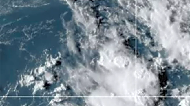
Edouard was centered about 65 miles south-southeast of Cameron, Louisiana, early on Sept. 1. It was moving west-northwest at about 8 mph with maximum sustained winds of 40 mph.
Tropical Edouard's forecasted rainfall


Track Edouard
Click on the down arrow to scroll to the storm you want to see.
This article originally appeared on USA TODAY: Tropical Storm Edouard could become a hurricane before reaching Gulf Coast